
What is recorded here
Sub-circular enclosure visible on aerial photograph (GSIAP R1/11). Inspected in 1987 and no remains were visible at ground level.
Compiled by: Claire Breen
Date of upload: 19 August 2011
The monument record does not grant public access. Check the route and ask the landowner before entering private land.
- What survives
- Recorded monument
Places near here
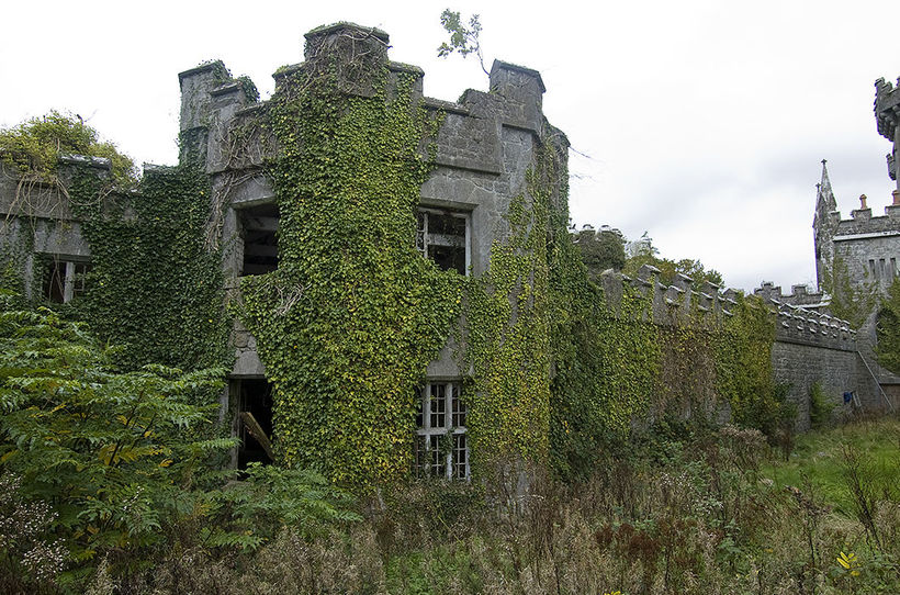 Enclosure in TemplenaboeEnclosure · 836 yd
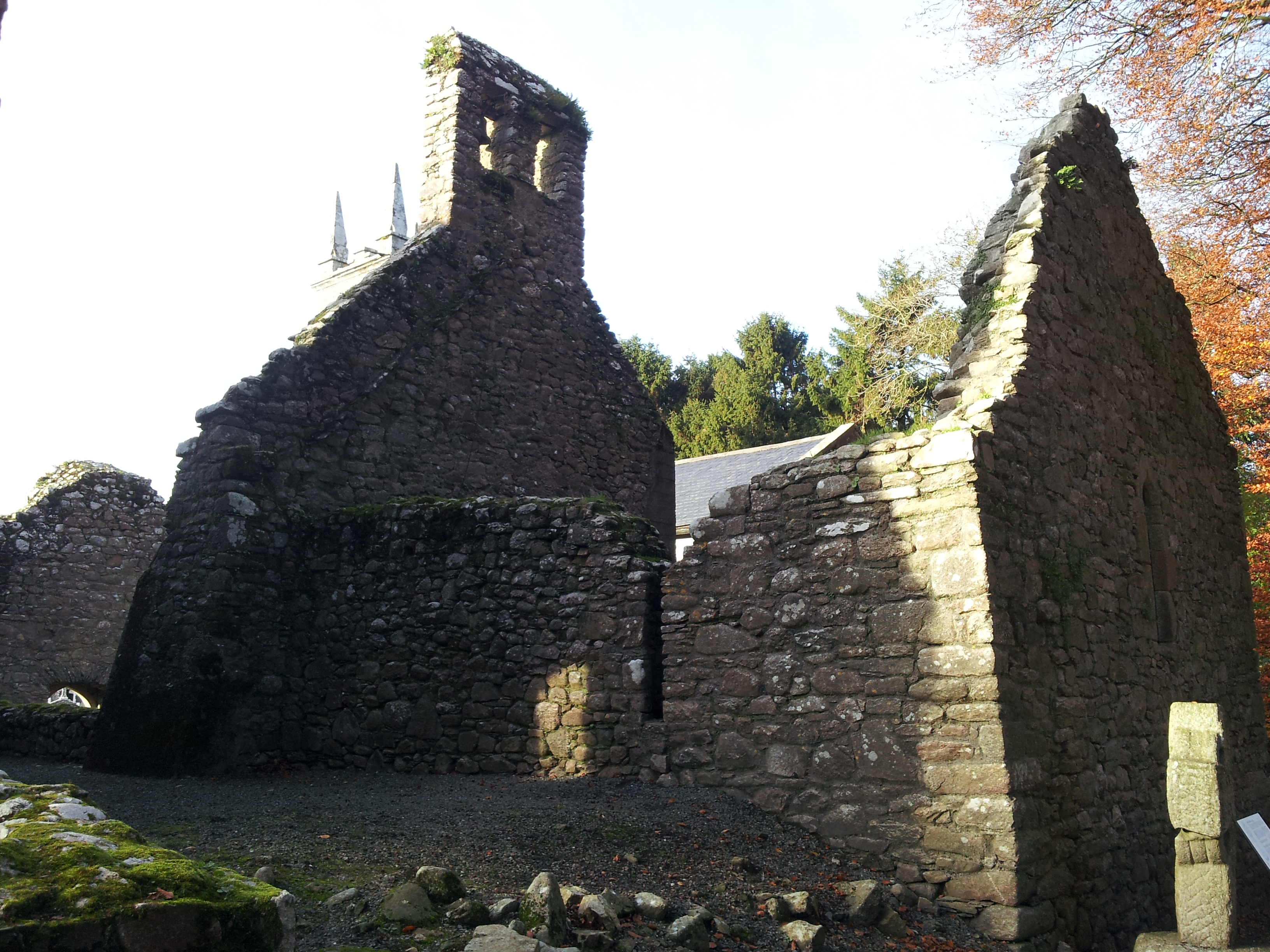 St. Mullins Oratory (in Ruins)Church · 899 yd
 Saint Moling's Catholic Churchchurch/chapel · 917 yd
 Bahana WoodForest · 1150 yd
 St. Mullins WellHoly well · 1.1 mi
 St. Mullins MoatCastle, motte and bailey · 1.2 mi
 Graveyard in St. Mullin'sGraveyard · 1.2 mi
 The SpoutSpring · 1.6 mi
 The Kiln FieldWood · 2.3 mi
 Brandon HillMountain / peak · 2.4 mi
 St. Michaels Church (in Ruins), GraveyardChurch · 2.5 mi
 Clogaralt Castle (site of)Archaeological place · 2.5 mi
Other information
Photo: Credit not shown in the picture search · Rights wording not checked; contact us if this picture should be removed