What is recorded here
In forestry plantation on high ground in upland area with good views in all directions. Enclosure picked up on aerial photograph (GSI S. 600/1) taken in 1974 and now situated in centre of recently planted coniferous forestry plantation which does not respect the monument and no visible remains of possible enclosure which was probably destroyed by plantation if it was a monument.
Compiled by: Jean Farrelly
Date of upload: 26 August 2011
The monument record does not grant public access. Check the route and ask the landowner before entering private land.
- What survives
- Recorded monument
Places near here
 Enclosure in KnockanattinEnclosure · 889 yd
 RathanaffrinFairy fort / earthen ringfort · 995 yd
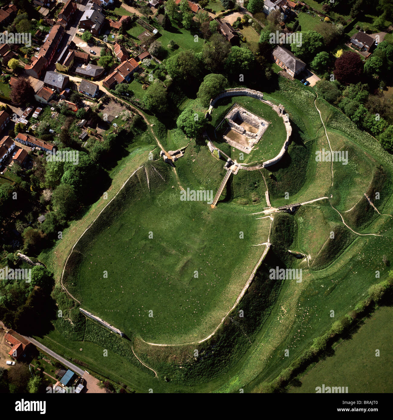 CastleCastle, motte and bailey · 1427 yd
 Coolquill CastleCastle · 1623 yd
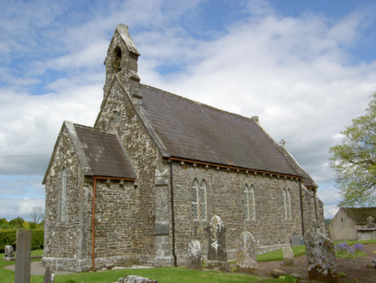 Crohane Churchchurch/chapel · 1.0 mi
 RoadRoad, hollow-way · 1.4 mi
 Eagle HillMountain / peak · 2.1 mi
 Waterloo HillMountain / peak · 2.6 mi
 Slieveardagh Heritage CentreVisitor information · 2.7 mi
 Derrynaflan TrailHeritage attraction · 4.8 mi
 Top Field at Carey'sForest · 4.8 mi
 Second Field on the HillForest · 5.0 mi