
What is recorded here
In grassland on W facing slope of rising ground overlooking valley to W, higher ground to E, in upland area with ringfort (TS055-032001-) 50m to NW. Hollow-way consists of a linear sunken depression (L 70m; top Wth 10m; base Wth 4m; D 1.7m) running NE-SW and terminated at NE and SW by field boundaries. Not indicated on 1843 ed. OS 6-inch map and may represent the remains of a trackway of 19th-century date running NE-SW. Onb first ed. OS 6-inch map there is small farm building indicated in S corner of field containing ringfort, trackway may have given access from building to main road to NE.
Compiled by: Jean Farrelly
Date of upload: 26 August 2011
The monument record does not grant public access. Check the route and ask the landowner before entering private land.
- What survives
- Recorded monument
Places near here
 RathroeArchaeological place · 83 yd
 IndicatedSettlement cluster · 1109 yd
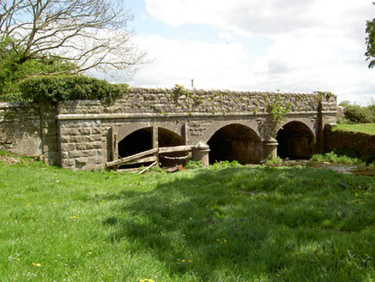 Wilford Bridgebridge · 1636 yd
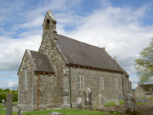 Crohane Churchchurch/chapel · 1.0 mi
 Crohane CastleCastle · 1.0 mi
 Site of CastleCastle, unclassified · 1.3 mi
 Eagle HillMountain / peak · 3.1 mi
 Top Field at Carey'sForest · 3.5 mi
 Knockuragh HillMountain / peak · 3.5 mi
 Second Field on the HillForest · 3.6 mi
 Slieveardagh Heritage CentreVisitor information · 4.1 mi
 Derrynaflan TrailHeritage attraction · 6.0 mi
Other information
Photo: Credit not shown in the picture search · Rights wording not checked; contact us if this picture should be removed