
What is recorded here
Ballingarry Lower castle stood on high upland ground with a mill beside a little brook and a church nearby, but time and stone-taking reduced it to a shallow grass mound in a field corner. Nicholas Fanning owned the place in 1640, when it still had a castle, kitchen house, small buildings and a working mill. The field never reverted to cultivation, so the forgotten shape may still lie complete beneath the grass, waiting for someone patient enough to look.
On poorly drained unreclaimed grassland on high ground in upland area with good views in all directions, nearby stream to the N of the castle. Nearby church and graveyard (TS055-016001- and TS055-016002-) 160m to SE and watermill (TS055-014----) 200m to NW. Poorly preserved remains of a castle consisting of the scattered and confused remains of grass-covered wall-footings of castle located in the corner of a field. Monument consists of a low grass-covered mound (H 0.3m; diam. 30m N-S 30m; 24m E-W) of stone which appears to have been quarried into in places at SE and SW. Three field boundaries intersect mound at SE, S and SW as depicted on latest ed. OS 6-inch map. Field in which castle is located has been unreclaimed and would contain undisturbed archaeology. Nicholas Fanning of Ballingarry is listed as proprietor in 1640 and is described as a 'good castle with a tatcht house & some cabbins and a Mill standing upon a little brooke neare the castle' (Simington 1931, vol. 1, 113).
Compiled by: Jean Farrelly
Date of upload: 26 August 2011
The monument record does not grant public access. Check the route and ask the landowner before entering private land.
- What survives
- Recorded monument
Places near here
 Site of ChurchChurch · 169 yd
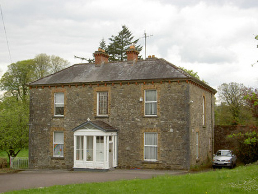 presbytery/parochial/curate's housepresbytery/parochial/curate's house · 191 yd
 Ballingarry Castle (ruins)Archaeological place · 193 yd
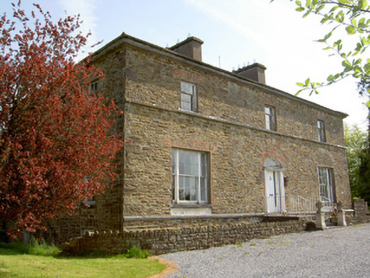 The Gleberectory/glebe/vicarage/curate's house · 346 yd
 Enclosure in GlengallEnclosure · 845 yd
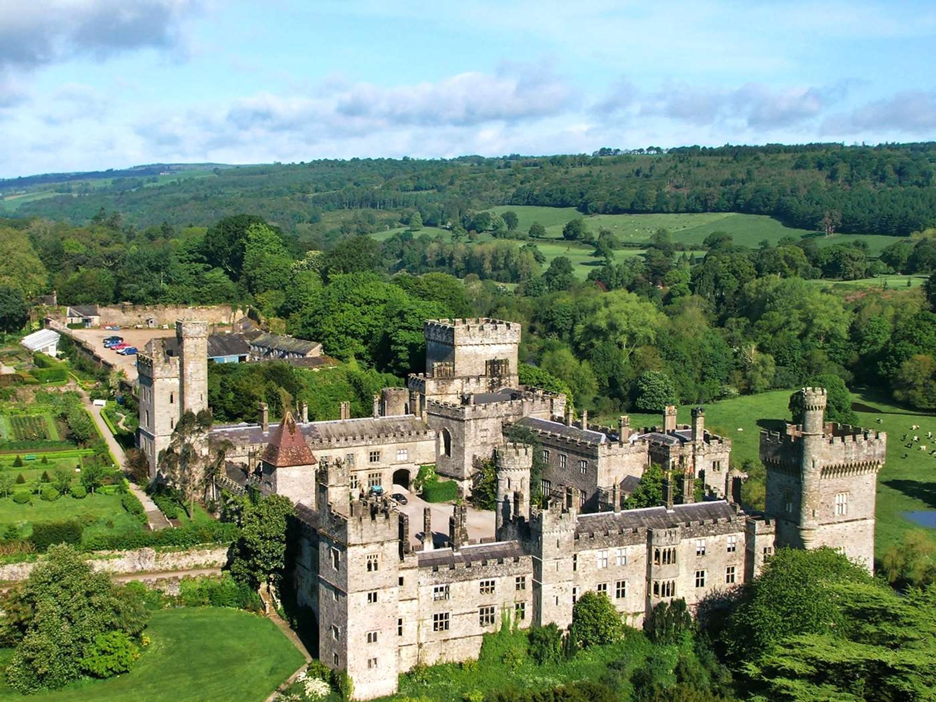 Site of Lisnamrock CastleCastle, unclassified · 1.2 mi
 Top Field at Carey'sForest · 2.6 mi
 Warhouse HillMountain / peak · 2.6 mi
 Second Field on the HillForest · 2.7 mi
 Bregaun HillMountain / peak · 3.6 mi
 Slieveardagh Heritage CentreVisitor information · 4.9 mi
 Derrynaflan TrailHeritage attraction · 6.1 mi
Other information
Photo: Credit not shown in the picture search · Rights wording not checked; contact us if this picture should be removed