What is recorded here
Not visible at ground level. Levelled in the 1960's during land improvement schemes.
The above description is derived from the published 'Archaeological Inventory of County Offaly' (Dublin: Stationery Office, 1997). In certain instances the entries have been revised and updated in the light of recent research.
Date of upload: 23 May 2011
The monument record does not grant public access. Check the route and ask the landowner before entering private land.
- What survives
- Recorded monument
Places near here
 Cloghan HillMountain / peak · 689 yd
 Lug Holy WellSpring · 864 yd
 Burnt spread in StonestownBurnt spread · 1109 yd
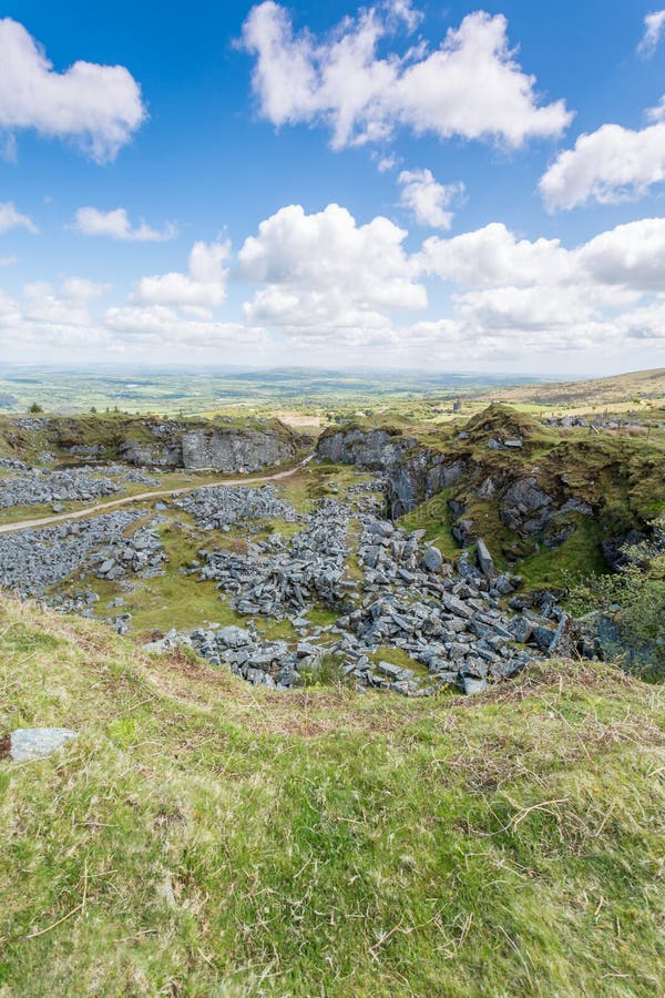 Burnt mound in StonestownBurnt mound · 1119 yd
 CastleCastle, unclassified · 1315 yd
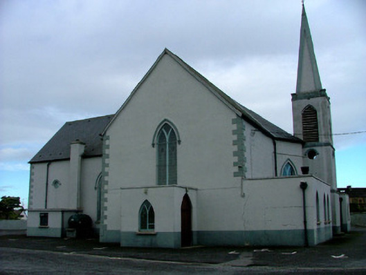 Saint Mary's Catholic Churchchurch/chapel · 1.0 mi
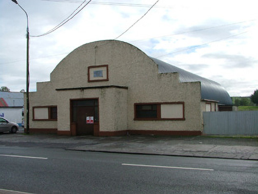 Saint Mary's Parochial HallOfficially recorded historic building · 1.1 mi
 Police Barrack on Site of Old CastleCastle, tower house · 1.2 mi
 St. Saran's WellSpring · 3.6 mi
 Kilbeg WoodWood · 4.3 mi
 Minus IslandIsland · 4.3 mi
 Bullock IslandIsland · 4.4 mi