
What is recorded here
Stonestown Castle vanished before human memory, leaving only wall footings buried in County Offaly soil. The Down Survey mapped a possible keep in the 1650s, yet the OS Letters recorded no castle at all by 1838. Whatever stood there was consumed by time, decay or deliberate erasure. The ground keeps the shape of what it lost.
Only the lower wall footings mark the site of Stonestown Castle that is mentioned in the nineteenth century OS Letters (O'Flanagan 1933, vol. 2, 2, 4). The letters state that the Down Survey indicated a castle in Stonestown and that no castle existed there in 1838 (O'Flanagan 1933, vol. 2, 2; Loeber 1988, vol. 4, 47). Seventeenth century Down Survey (1654-7) barony map of Garrycastle shows a possible keep or tower in Stonestown (Loeber 1988, vol. 4, 47; NLI, MS. 716).
The above description is derived from the published 'Archaeological Inventory of County Offaly' (Dublin: Stationery Office, 1997). In certain instances the entries have been revised and updated in the light of recent research.
Date of upload: 23 May 2011
The monument record does not grant public access. Check the route and ask the landowner before entering private land.
- What survives
- Recorded monument
Places near here
 Burnt spread in StonestownBurnt spread · 221 yd
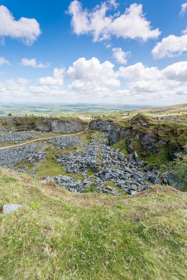 Burnt mound in StonestownBurnt mound · 236 yd
 Cloghan HillMountain / peak · 1418 yd
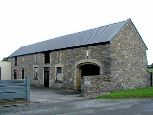 Gaybrookstore/warehouse · 1655 yd
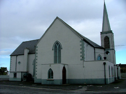 Saint Mary's Catholic Churchchurch/chapel · 1727 yd
 Police Barrack on Site of Old CastleCastle, tower house · 1.1 mi
 Lug Holy WellSpring · 1.1 mi
 Clonony CastleCastle, tower house · 2.6 mi
 St. Saran's WellSpring · 3.2 mi
 Minus IslandIsland · 3.6 mi
 Bullock IslandIsland · 3.8 mi
 Kilbeg WoodWood · 3.8 mi
Other information
Photo: Credit not shown in the picture search · Rights wording not checked; contact us if this picture should be removed