What is recorded here
A burnt mound recently identified by Dominic Delaney & Associates while carrying out archaeological monitoring between 10th-12th November 2021, in advance of afforestation at Stonestown, County Offaly. The report was prepared in compliance with the archaeological conditions attached to the Afforestation Licence issued by the Forest Service, Department of Agriculture, Food and the Marine (Ref. CN85059). The results the monitoring were described as follows; 'Ground preparation works consisted of ‘invert mounding’ whereby the sod is turned at 2m intervals. The topsoil consisted of light grey/brown silt on the high ground in the south and southeast of the monitored area and dark grey/brown peaty silt in the low-lying areas in the north and northwest. Two archaeological sites were identified during the course of monitoring. A burnt mound was identified in the northwest extent of the large field when ‘invert mounding’ along the east edge of a rise revealed charcoal-rich soil and fragments of burnt stone just below the field surface. The mound is defined by a noticeable rise in the field on the south and east, and by gently sloping ground on the north and west. It has a maximum diameter of c. 20m and a maximum height of c. 0.5m. Mounding was stopped in this area and a 20m exclusion zone was established from the outer edge of the mound' (Delaney 2022). Prior to soil-stripping this burnt mound was visible as a circular-shaped earthwork which is visible on Digital Globe orthophoto taken between 2011-13. See attached photographs courtesy of Dominic Delaney
Compiled by Caimin O'Brien based on details provided by Dominic Delaney
Date of upload: 23 March 2022
A burnt mound recently identified by Dominic Delaney & Associates while carrying out archaeological monitoring between 10th-12th November 2021, in advance of afforestation at Stonestown, County Offaly. The report was prepared in compliance with the archaeological conditions attached to the Afforestation Licence issued by the Forest Service, Department of Agriculture, Food and the Marine (Ref. CN85059). The…
From the National Monuments Service (Archaeological Survey of Ireland) record OF022-030
The monument record does not grant public access. Check the route and ask the landowner before entering private land.
- What survives
- Recorded monument
Places near here
Photo credits
- Eric Jones, Geograph · CC BY-SA 2.0
- National Inventory of Architectural Heritage
- Sarah777 at English Wikipedia, Wikimedia Commons · Public domain
- A.-K. D., Wikimedia Commons · CC BY-SA 4.0
- ., Wikimedia Commons · CC BY-SA 4.0
 Cloghan HillMountain / peak · 1315 ydLug Holy WellSpring · 1.0 mi
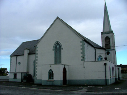 Saint Mary's Catholic ChurchChurch/chapel · 1.0 mi
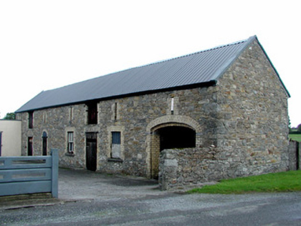 GaybrookStore/warehouse · 1.1 mi
 Clonony CastleCastle, tower house · 2.7 miSt. Saran's WellSpring · 3.3 mi
 Grave YardGraveyard · 3.5 miMinus IslandIsland · 3.8 miKilbeg WoodWood · 3.9 miBullock IslandIsland · 3.9 mi
 Coole CastleCastle · 4.4 mi
 CrossCross, High cross · 4.9 mi
More archaeology and monuments in County Offaly · All of County Offaly
What do you know about this place?