
What is recorded here
A linear feature running ESE-WNW, identified on Lidar coverage (Davies,S. 2010, 166-167, D3-ii).
The monument record does not grant public access. Check the route and ask the landowner before entering private land.
- What survives
- Recorded monument
Places near here
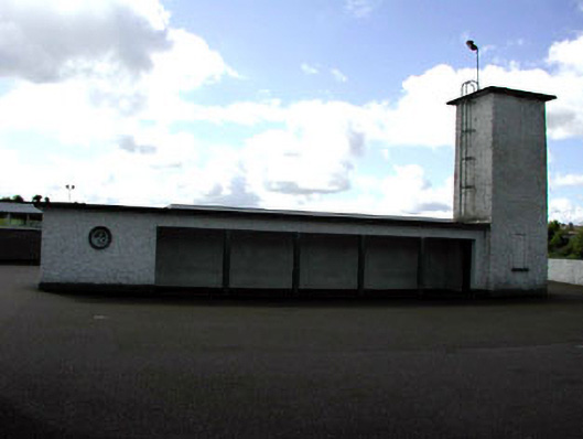 Saint Patrick's National Schoolwater tower · 877 yd
 CrossCross, High cross (present location) · 987 yd
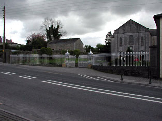 Saint Patrick's Catholic Churchgates/railings/walls · 1023 yd
 Pat's Art StudioGallery · 1052 yd
 RiverviewMemorial · 1074 yd
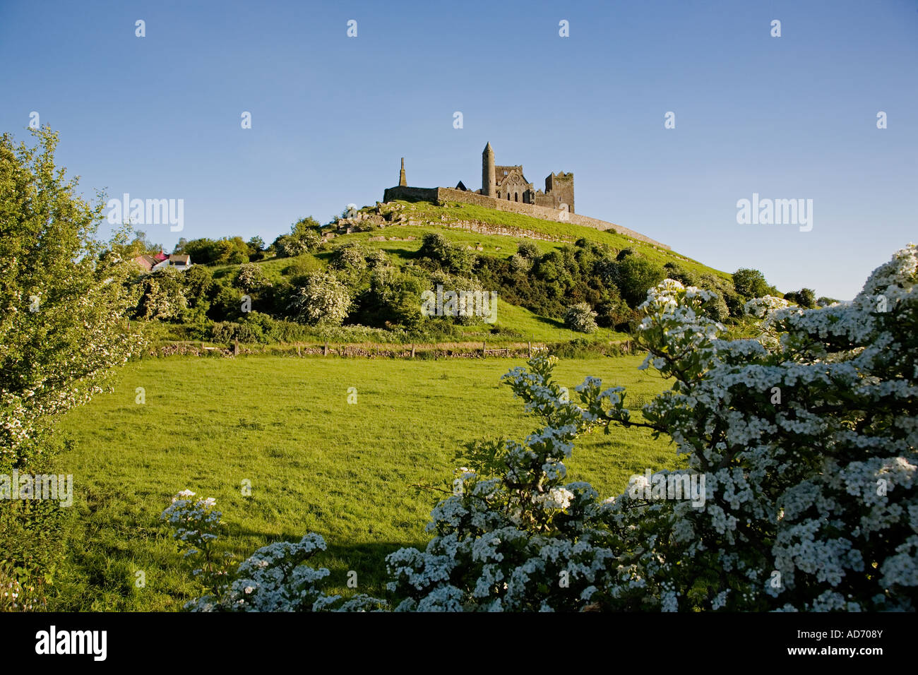 Enclosure in CashelEnclosure · 1249 yd
 Mountcharles ClumpWood · 1332 yd
 Vaughey's WoodWood · 1405 yd
 Fennor CastleCastle · 1411 yd
 MoatCastle, motte · 1596 yd
 KnowthArchaeological place · 1.6 mi
 Brú na Bóinne Visitors CentreVisitor information · 3.4 mi
Other information
Photo: Credit not shown in the picture search · Rights wording not checked; contact us if this picture should be removed