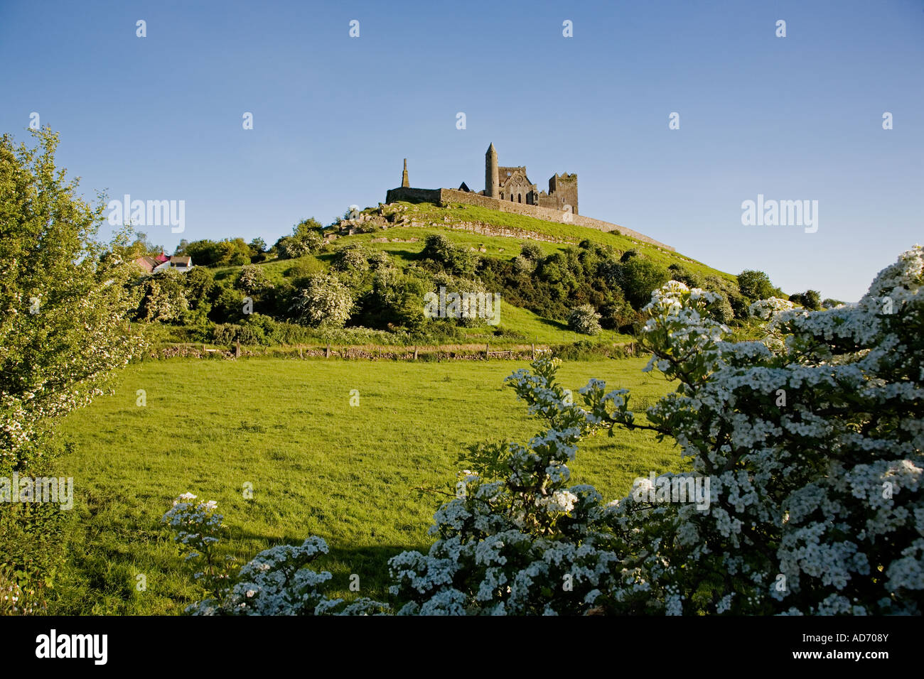
What is recorded here
Located on a fairly level landscape at the bottom of an E-facing slope. The cropmark of a circular enclosure (diam. c. 25m) defined by a faint fosse SE-W-N is visible only on Apple Maps, which utilises a survey conducted by Bluesky International during June 2018. It was first reported by Anthony Murphy.
See the attached enhanced view from Apple Maps
Compiled by: Michael Moore
Date of upload: 15 June 2022
The monument record does not grant public access. Check the route and ask the landowner before entering private land.
- What survives
- Recorded monument
Places near here
 Enclosure in CrewbaneEnclosure · 999 yd
 IndicatedEnclosure · 1238 yd
 KnowthArchaeological place · 1.1 mi
 Knowth Timber CircleHeritage attraction · 1.1 mi
 Little WoodForest · 1.1 mi
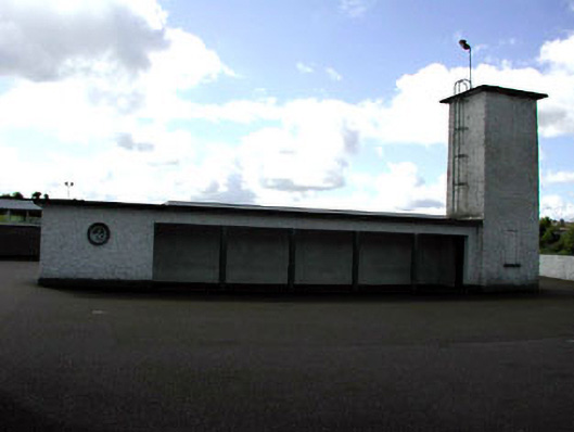 Saint Patrick's National Schoolwater tower · 1.1 mi
 Knowth Fox CovertWood · 1.1 mi
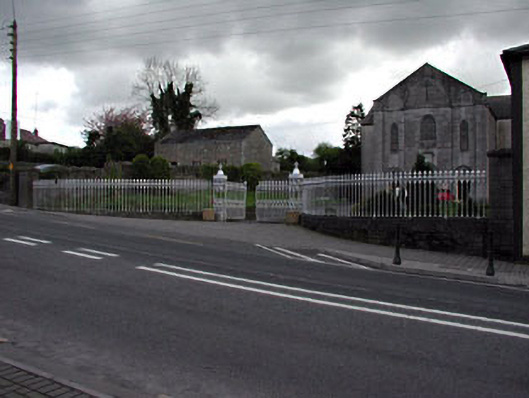 Saint Patrick's Catholic Churchgates/railings/walls · 1.3 mi
 RiverviewMemorial · 1.3 mi
 Fennor CastleCastle · 1.4 mi
 CastleCastle, motte · 2.5 mi
 Brú na Bóinne Visitors CentreVisitor information · 2.8 mi
Other information
Photo: Credit not shown in the picture search · Rights wording not checked; contact us if this picture should be removed