
What is recorded here
The following description is derived from both the published 'Archaeological Inventory of County Louth' (Dublin: Stationery Office, 1986) and the 'Archaeological Survey of County Louth' (Dublin: Stationery Office, 1991). In certain instances the entries have been revised and updated in the light of recent research.
Date of upload/revision: 17 July 2007
Cropmark ring indicating circular enclosure (max. diam. c. 43m) on aerial photograph (CUCAP, APG 74).
The monument record does not grant public access. Check the route and ask the landowner before entering private land.
- What survives
- Recorded monument
Places near here
 Enclosure in ShanlisEnclosure · 426 yd
 Screedoge HillMountain / peak · 691 yd
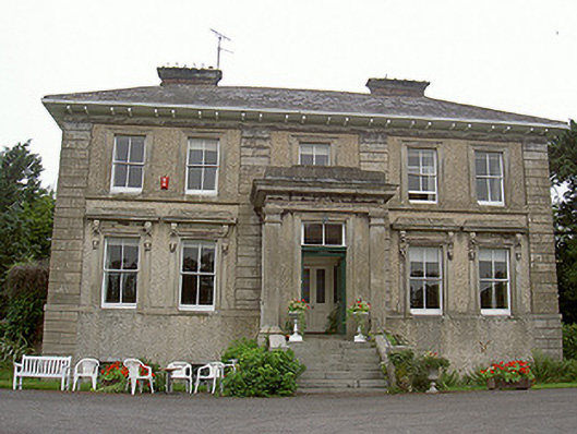 Shanlis Housecountry house · 786 yd
 mill (water)mill (water) · 856 yd
 ToberdoneyHoly well · 1060 yd
 CastleCastle, unclassified · 1483 yd
 Valley WoodWood · 1.6 mi
 Yellow HillMountain / peak · 1.9 mi
 European White ElmEuropean White Elm · 2.0 mi
 Sir Frederick Foster MemorialMemorial · 2.3 mi
 Site of Mullanstown CastleCastle, unclassified · 2.7 mi
 Graveyard in StickillinGraveyard · 3.6 mi
Other information
Photo: Credit not shown in the picture search · Rights wording not checked; contact us if this picture should be removed