What is recorded here
On a gentle NE-facing slope on the W side of the NW-SE River Suck which is c. 40m to the NE. D-shaped grass and rush-covered area (int. dims 13.4m NNE-SSW; 11m WNW-ESE) defined by an earthen bank (Wth 1.7-1.9m; int. H 0.1-0.4m; ext. H 0.5-0.6m) and rush-covered fosse (Wth of base 1.2m; D 0.2m) SSW-W-NNE. It is cut by a NNE-SSW field bank at E, and does not survive E of this feature. Children's burial ground (RO034-105----) is c. 210m to the SE, and earthwork (RO027-085----) is c. 120m to the E on the other side of the river.
Compiled by: Michael Moore
Date of upload: 24 August 2010
The monument record does not grant public access. Check the route and ask the landowner before entering private land.
- What survives
- Recorded monument
Places near here
 Promontory fortPromontory fort, inland · 1121 yd
 IndicatedEnclosure · 1.2 mi
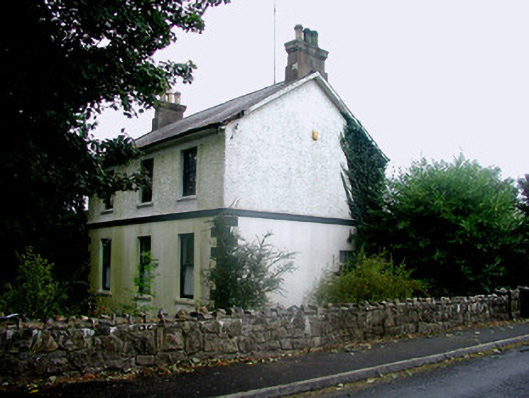 Rosmeen Househouse · 1.3 mi
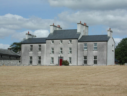 Dundermot Housecountry house · 1.6 mi
 CastleCastle, Anglo-Norman masonry castle · 1.6 mi
 Silver IslandIslet · 3.1 mi
 Workhouse MemorialMemorial · 3.2 mi
 Site of Ballyglass CastleCastle, unclassified · 3.5 mi
 Site of Killomaine Grave YardArchaeological place · 4.5 mi
 Coolougher WoodForest · 4.8 mi
 Clonalis HouseMuseum · 4.9 mi
 Rook HillMountain / peak · 5.3 mi
Other information
Photo: Credit not shown in the picture search · Rights wording not checked; contact us if this picture should be removed