What is recorded here
Identified on satellite imagery (Digitalglobe, viewed 23 November 2020). A circular enclosure (diam. c. 35-40m) visible as a slightly raised earthwork.
See attached satellite image.
Compiled by: Jean Farrelly
Date of upload: 23 November 2020
The monument record does not grant public access. Check the route and ask the landowner before entering private land.
- What survives
- Recorded monument
Places near here
 CastleCastle, unclassified · 389 yd
 Mountgarret Castle (in ruins)Castle, unclassified · 413 yd
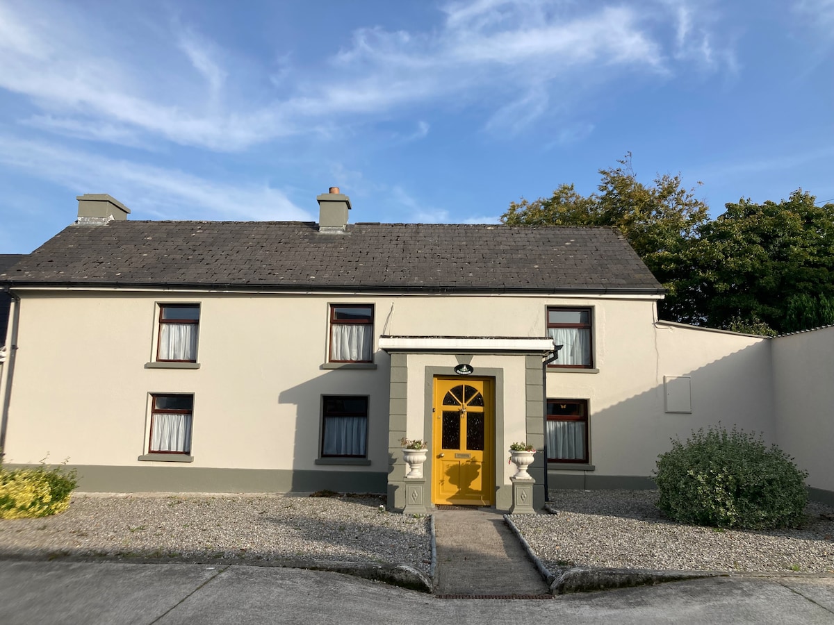 Not indciatedEnclosure · 618 yd
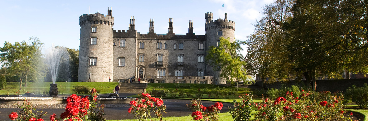 IndicatedFairy fort / earthen ringfort · 740 yd
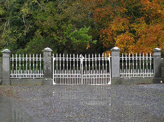 Seskin Housegates/railings/walls · 931 yd
 Saint Brigid's Catholic Churchchurch/chapel · 1.2 mi
 Anker's IslandIsland · 1.2 mi
 Street fieldArchaeological place · 5.7 mi
 Big WoodWood · 5.7 mi
 DelaneyMemorial · 8.1 mi
 Cnoc SeanrathaMemorial · 8.6 mi
 St. Mogarra’s WellSpring · 13 mi