What is recorded here
On a gradual NW-facing slope of hill in gently rolling terrain, under tillage. Depicted on 1st (1840) ed. OS 6-inch map as an oval, banked enclosure with trees growing in interior and is marked on the 2nd (1906) ed as an oval area (diam. c. 35m N-S; c. 37m E-W) enclosed by a bank, except in the SE quadrant and the enclosure itself, apart from the W quadrant, is surrounded by field boundaries. The site has been levelled and surrounding field boundaries to the N and S have been removed. There is no visible trace of the monument above ground. The E quadrant has been left waste/fallow and young trees have been planted along the straight sides of the quadrant.
Compiled by: Jean Farrelly
Date of upload: 07 January 2014
This remains an important historical record, but the official description says the monument is no longer visible or has been destroyed. The monument record does not grant public access. Check the route and ask the landowner before entering private land.
- What survives
- No visible remains or recorded as destroyed
Places near here
 Enclosure in ScartanaEnclosure · 311 yd
 Enclosure in DerravoherEnclosure · 1124 yd
 Water millWater mill, unclassified · 1234 yd
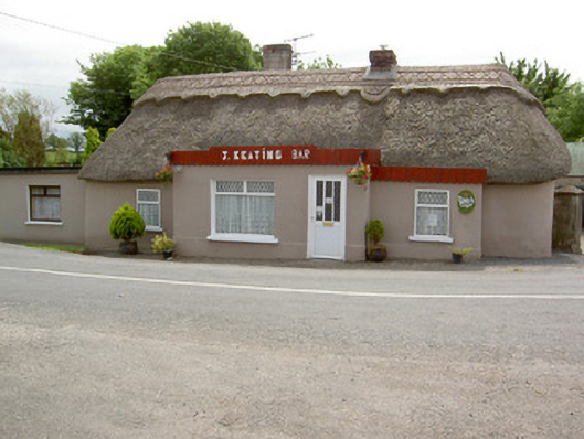 J. Keatinghouse · 1504 yd
 CastleCastle, motte · 1.2 mi
 Garrycloher WoodForest · 1.5 mi
 Roosca CastleCastle · 1.7 mi
 Pedunculate OakPedunculate Oak · 2.3 mi
 Woodcock HillMountain / peak · 3.1 mi
 Cahir CastleHeritage attraction · 3.3 miSiege of Cahir Castlesiege · 3.4 mi
 Caher AbbeyHeritage attraction · 3.6 mi