
What is recorded here
The cropmark of a circular feature (diam. c. 15-20m) defined by a single fosse feature is visible on aerial photograph (OSAP: 1995). This monument is located in the field known locally as 'The 21'. (Pers. com. Colin Byrne)
Date of upload: 15 September, 2017
A local fairy fort (ringfort/rath); wider significance not recorded.
The monument record does not grant public access. Check the route and ask the landowner before entering private land.
- What survives
- Recorded monument
Places near here
 Enclosure in GormanstonEnclosure · 773 yd
 CrossCross, Wayside cross · 831 yd
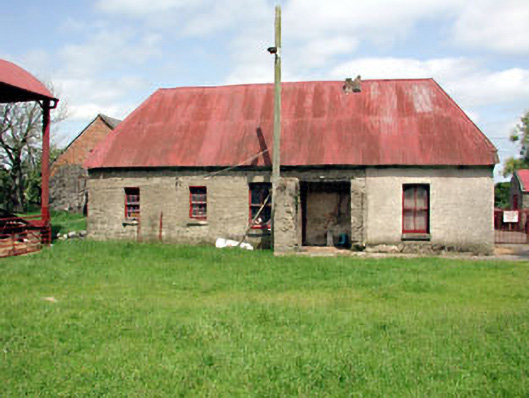 farm housefarm house · 1.0 mi
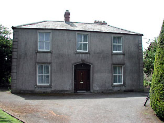 Beechvillehouse · 1.0 mi
 SycamoreSycamore · 1.1 mi
 Gormanston CastleHouse, fortified house · 1.3 mi
 European YewEuropean Yew · 1.3 mi
 Ben HeadCliff · 1.4 mi
 MoatCastle, motte · 1.7 mi
 Battle of Julianstownbattle · 1.8 mi
 Clonard SpringSpring · 3.4 mi
 Balbriggan Tourist OfficeVisitor information · 4.1 mi
Other information
Photo: Credit not shown in the picture search · Rights wording not checked; contact us if this picture should be removed