What is recorded here
On a gradual NW-facing slope in undulating, hilly terrain, under tillage. A possible enclosure identified as a roughly circular cropmark (diam. c. 30m) on an aerial photograph (ASI AP Flight 20, 11.07.2005). The N quadrant is not visible on the aerial photograph and the enclosure is not visible at ground level.
Compiled by: Jean Farrelly
Date of upload: 26 August 2011
The monument record does not grant public access. Check the route and ask the landowner before entering private land.
- What survives
- Recorded monument
Places near here
 TobernataggartHoly well · 542 yd
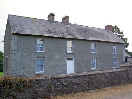 Rathkennan Househouse · 708 yd
 Church FieldChurch · 812 yd
 RathkennanCastle, motte and bailey · 914 yd
 IndicatedEnclosure · 1086 yd
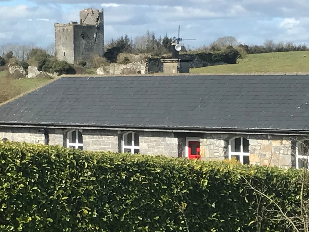 Bawn in Clonyharp (clogher Par.)Bawn · 1.3 mi
 Cormackstown Heritage CentreMuseum · 2.6 mi
 Clonoulty HillMountain / peak · 2.8 mi
 Drum WoodWood · 3.2 mi
 Killough Hill (site of)Mountain / peak · 3.7 mi
 Wildlife CorridorWood · 4.8 mi
 Lár na PáirceMuseum · 5.2 mi