
What is recorded here
First identified by Leo Swan and provided to the ASI by the Discovery Programme (copyright of the images vested in the National Museum of Ireland) this bivallate crop-mark enclosure was identified in oblique aerial photographs (LS_AS_35CT_00022_34m, LS_AS_35CT_00022_35m, LS_AS_67BWN_00001_05, LS_AS_67BWN_00001_07, LS_AS_67BWN_00001_11). The crop-mark consists of a central circular area (approximate diam. 20m N-S) enclosed by a fosse with an outer oval enclosure (approximate diam. 50m E-W). Faint traces of an earlier small sub-rectangular crop-mark enclosure can be seen beyond the NE quadrant truncated by the outer ditch. The enclosure is situated S of the ring-ditch of DU0110-162----.
Compiled by: Margaret Keane
Uploaded on: 4 March 2017
A local fairy fort (ringfort/rath); wider significance not recorded.
The monument record does not grant public access. Check the route and ask the landowner before entering private land.
- What survives
- Recorded monument
Places near here
 Ring-ditch in RathingleRing-ditch · 84 yd
 Family Grave yard, DisusedBurial ground · 542 yd
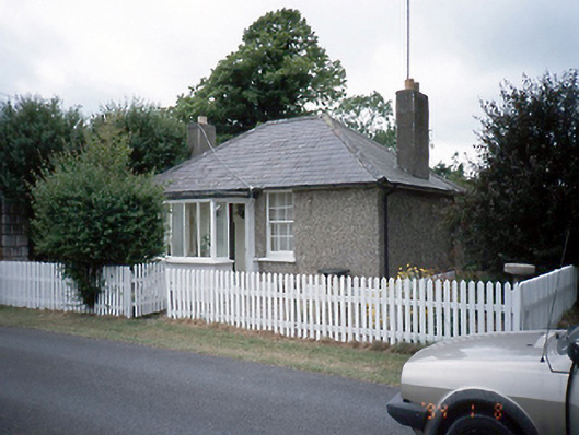 Brackenstown Housegate lodge · 749 yd
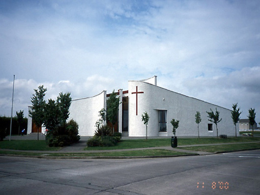 Saint Finian's Catholic Churchchurch/chapel · 891 yd
 The JackoWood · 1212 yd
 Kim Archibold MemorialMemorial · 1271 yd
 CastleCastle, motte and bailey · 1597 yd
 Airside Retail ParkVisitor information · 1725 yd
 St Cronans WellSpring · 1.1 mi
 Swords Round TowerHeritage attraction · 1.2 mi
 St Colmcilles WellVisitor information · 1.3 mi
 Tower (in ruins), Castle and ChapelCastle, Anglo-Norman masonry castle · 1.5 mi
Other information
Photo: Credit not shown in the picture search · Rights wording not checked; contact us if this picture should be removed