
What is recorded here
From the National Monuments Service (Archaeological Survey of Ireland) record LH011-022001
Places near here
Photo credits
- Maker not stated on source page, co.pinterest.com
- John Donnellan, Wikimedia Commons · CC BY-SA 4.0
- Kieran Campbell, Geograph · CC BY-SA 2.0
- National Inventory of Architectural Heritage
- Maker not stated on source page, www.alamy.com
- Individual photographer not stated, www.stbridesgfc.com
- Maker not stated on source page, www.tripadvisor.com.ph
- Maker not stated on source page, en.wikipedia.org
- Mike Searle, Geograph · CC BY-SA 2.0
- Maker not stated on source page, commons.wikimedia.org
 Stone circle in RathiddyStone circle · 340 yd
Explorer Tom Stone circle in Rathiddy used to have seven stones, but now it’s just a memory with a grassy haircut. Isaac Butler saw…
 ClochafarmoreArchaeological place · 376 yd
Explorer Tom Clochafarmore is a standing stone with a name meaning "stone of the great man", which is enough to make me stand up…
Cú Chulainn's Final Stand: ClochafarmoreLegend location · 376 ydExplorer Tom Cú Chulainn's Final Stand: Clochafarmore is linked to the tale of a wounded hero tying himself to a standing stone so…
 CloghafarmoreStanding stone · 377 yd
Explorer Tom Cloghafarmore in Rathiddy is known as the stone of the big man, which is a bit of an exaggeration for Cúchulainn. It…
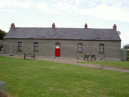 Agnes Burns CottageHouse · 865 yd
Explorer Tom Agnes Burns Cottage would post a selfie with Robert Burns’ ghost and caption it 'Family time in Louth' without a second…
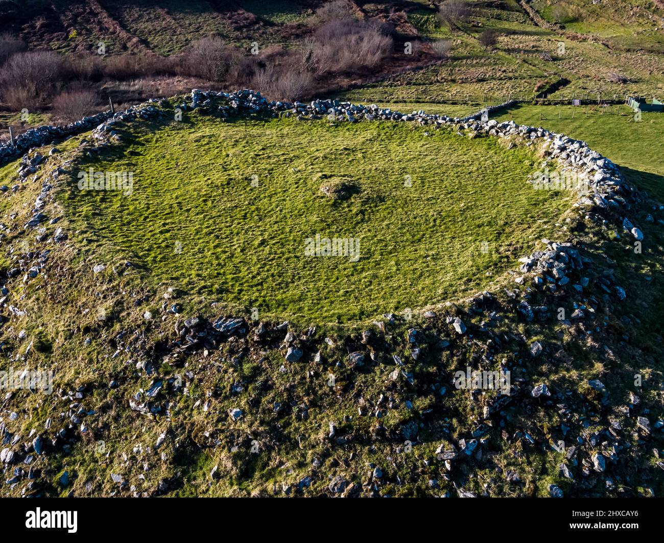 Fairy fort / earthen ringfort in Cavan (dundalk Upr By; Dunbin Par.)Fairy fort / earthen ringfort · 911 yd
Explorer Tom This fairy fort in Cavan only exists on an 1835 map, which makes it the ultimate snob of the archaeological world. The…
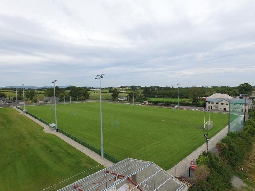 St. Brides GAAGAA ground · 1219 yd
 Graveyard in Dunbin BigGraveyard · 1343 yd
Explorer Tom Dunbin Big is totally overgrown, so you’d need a machete and good luck to find anything there. Someone once wrote a…
 Earthwork in Dunbin BigEarthwork · 1347 yd
Explorer Tom Earthwork in Dunbin Big in Louth was bulldozed in 1965 after being mistaken for a giant’s grave, but it was just a…
 Stephenstown HouseCountry house · 1512 yd
Explorer Tom Stephenstown House in Stephenstown was designed by a mother-in-law who wanted to see everyone over her shoulder from…
 Mapped cemeteryCemetery · 1556 yd
Explorer Tom Mapped cemetery in County Louth is rumored to have a hidden tunnel that leads directly to the best pub in town, but…
 Dunmahon CastleCastle · 1.9 mi
Explorer Tom Dunmahon Castle is confused about its location because the map makers got it wrong and put it in two different places…
More archaeology and monuments in County Louth · All of County Louth

What do you know about this place?Tap to add a comment or ask a question