What is recorded here
In undulating pasture, on a slight NW-facing slope. The enclosure is visible as a roughly oval area (30m N-S; 40m WNW-ESE) of rough thistle infested ground in an otherwise grassy field. A field boundary with a drain on its N side, both orientated NNW-ESE, abuts this area on the S side. No definite enclosing element could be located. There is no local tradition of a fort here. It is visible in an aerial photograph (IASAP, 3034207-8) as a partially overgrown oval area with pits or hollows in the NE quadrant.
The above description is derived from the published 'Archaeological Inventory of County Sligo' compiled by Ursula Egan, Elizabeth Byrne, Mary Sleeman with Sheila Ronan and Connie Murphy (Dublin Stationery Office, 2005).
Date of upload: 18 January 2008
The monument record does not grant public access. Check the route and ask the landowner before entering private land.
- What survives
- Recorded monument
Places near here
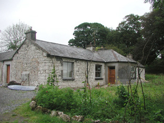 Somertonhouse · 300 yd
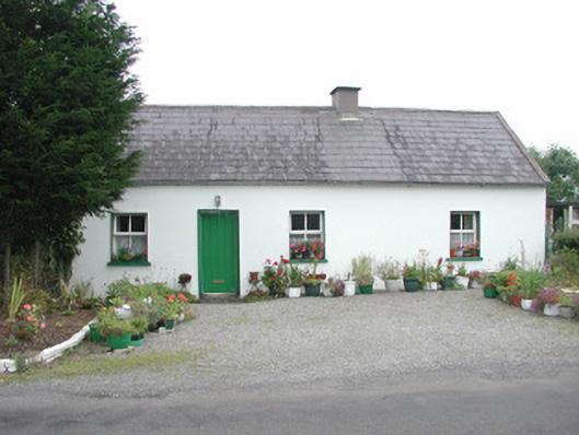 Temple Housegate lodge · 675 yd
 Enclosure in Rathnarrow (o'hara)Enclosure · 1294 yd
 Indicated (1838).Enclosure · 1486 yd
 European ashEuropean ash · 1725 yd
 IndicatedBawn · 1.0 mi
 ElderElder · 1.0 mi
 RathdoonyCastle, motte · 2.3 mi
 Brother WalfridMemorial · 3.3 mi
 Tullaghan HillMountain / peak · 4.1 mi
 CroaghaunMountain / peak · 4.9 mi
 James MorrisonMemorial · 5.1 mi