What is recorded here
On a hilltop (OD 423 feet) in pasture. In 1837 according to the OSL (Herity 2002, 59 (173)), ‘In Rathascar T.L. are the ruins of a castle [KD024-001002-] standing in the centre of a Fort or Mound.’ A circular area (diam 40m) was enclosed by an earthen bank, gapped at N and E, and an external fosse. The interior contained the foundations of a castle (KD024-001002-), probably a tower house (SMR file). The monuments were levelled in 1984, but subsurface remains may survive.
Compiled by: Gearóid Conroy
Date of upload: 07 June 2012
This monument is subject to a preservation order made under the National Monuments Acts 1930 to 2014 (PO no. 9/1971).
The monument record does not grant public access. Check the route and ask the landowner before entering private land.
- What survives
- Recorded monument
Places near here
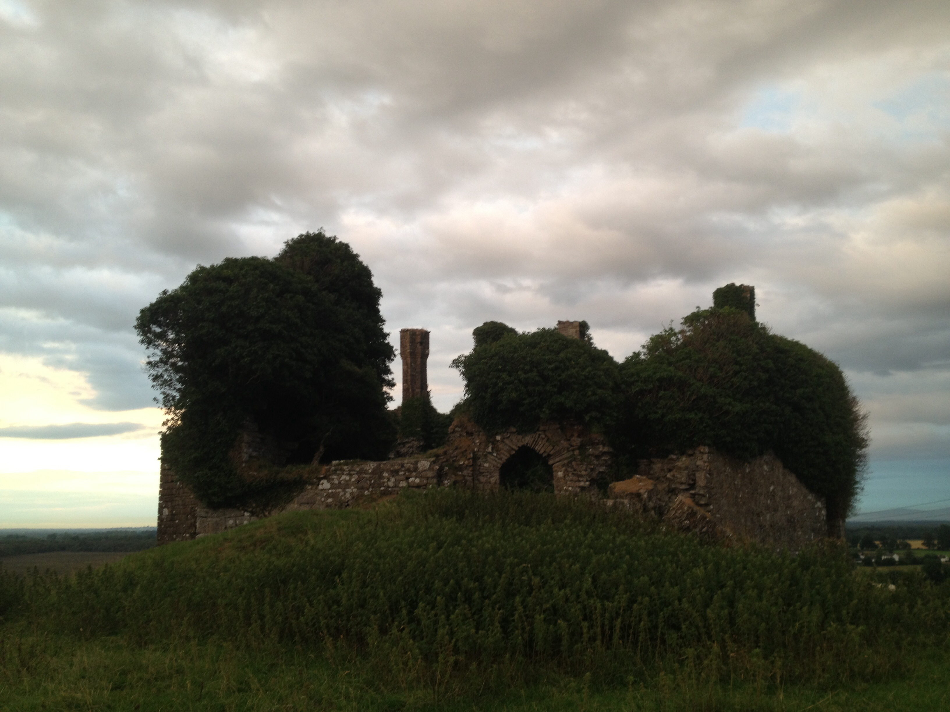 CastleCastle, unclassified · 2 yd
 Enclosure in BluebellEnclosure · 782 yd
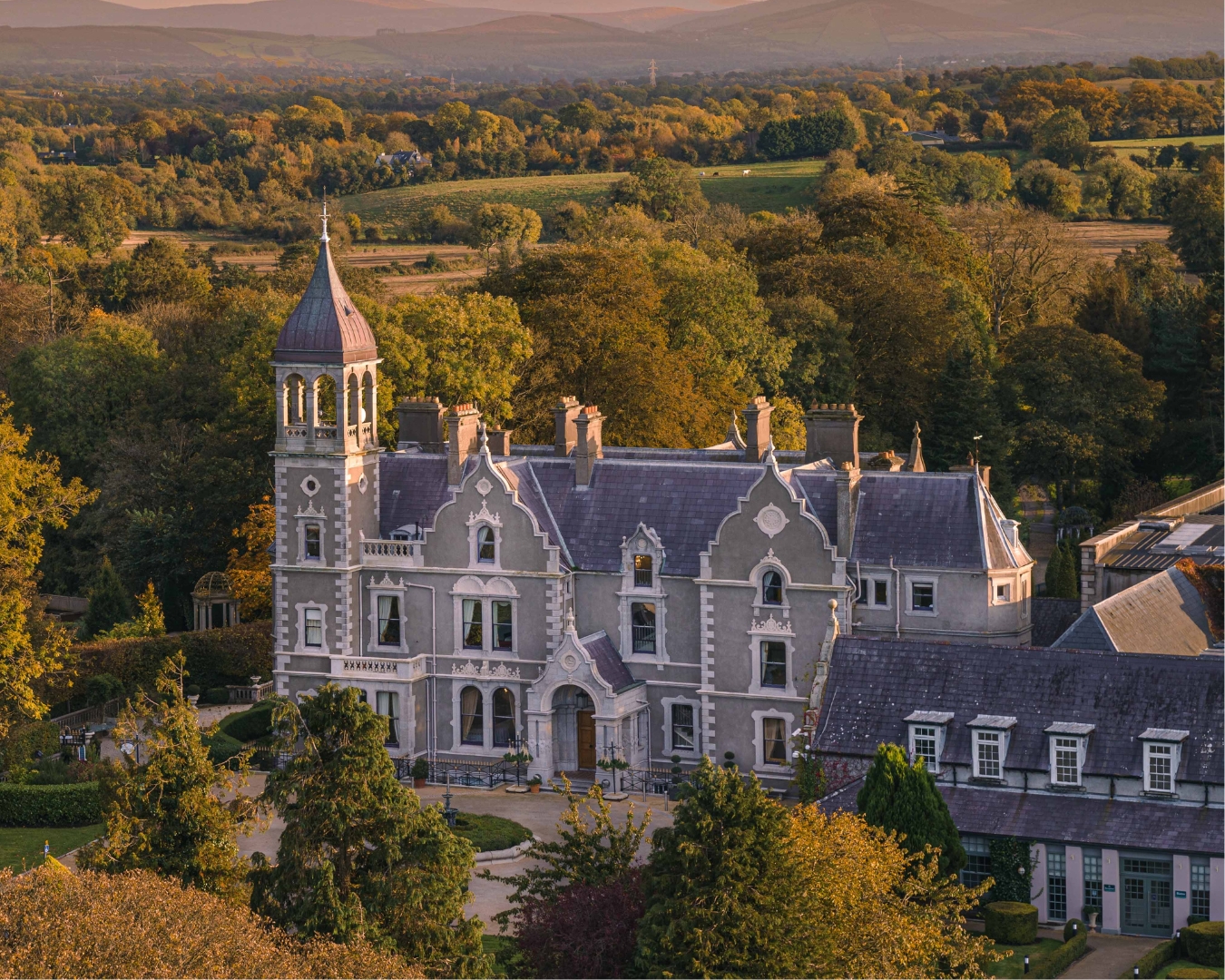 Church in Killashee (killashee Ed)Church · 1515 yd
 Site of CastleCastle, unclassified · 1538 yd
 St Patricks WellHoly well · 1.0 mi
 Limerick Bridgebridge · 1.0 mi
 European Crab AppleEuropean Crab Apple · 1.6 mi
 Poplar SquarePicnic place · 1.9 mi
 Monread District Park WoodsWood · 2.7 mi
 Newbridge SilverwareMuseum · 4.8 mi
 Cupidstown HillMountain / peak · 8.2 mi
 OldcourtMemorial · 9.1 mi