
What is recorded here
Situated on a gentle NE-facing slope. A multivallate enclosure is attached to Enclosure C of the concentric enclosure (RO039-102----) at NW. It was noted in the geophysical survey (15R0052) as three concentric ditches attaching to the fosse of Enclosure C of the concentric enclosure (Bonsall and Gimson 2015), although only a small area of the conjunction was within the road-take at the NE edge of the this enclosure. Through excavation (15E0136) it could be shown that the outermost of the three fosses (Wth 3m; max. D 2.5m) cut the fill of the fosse of Enclosure C, but the SW edge of this attached enclosure (int. dims c. 50m NE-SW; c. 30m NW-SE) is truncated at SW by a NW-SE road wall of the old N61. The fosses of two internal features also appear to attach to the fosse of Enclosure C. The outermost fosse has an entrance gap (Wth 3m) at NE, not far from the junction of the fosse with Enclosure C and the entrance to Enclosure C. Other small enclosures and what may be numerous pits to the E of the concentric enclosure are as yet unproven. (Delaney and Ní Cheallacháin 2017, 20, Fig. 3)
See the attached plan from (Delaney and Ní Cheallacháin 2017, Fig. 3
Compiled by: Michael Moore
Date of upload: 8 December 2020
The monument record does not grant public access. Check the route and ask the landowner before entering private land.
- What survives
- Recorded monument
Places near here
 Concentric enclosure in Barnhill,ranelaghConcentric enclosure · 61 yd
 Not inidcatedFairy fort / earthen ringfort · 660 yd
 Fortview Househouse · 922 yd
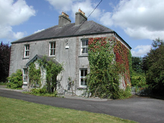 Castleview Househouse · 1556 yd
 Roscommon CastleCastle · 1.2 mi
 CastleCastle, unclassified · 1.7 mi
 Big IslandForest · 3.1 mi
 Little IslandForest · 3.1 mi
 Leitrim CastleCastle, unclassified · 4.7 mi
 Sally IslandIslet · 7.7 mi
 Black RockNamed rock · 8.6 mi
 InchcleraunIsland · 8.8 mi
Other information
Photo: Credit not shown in the picture search · Rights wording not checked; contact us if this picture should be removed