
What is recorded here
In improved, slightly undulating pasture, on a SE-facing slope. A sub-oval/irregular-shaped area (dims. 20m N-S; 16m E-W) defined by scarp (Wth 4.5m; H 1.55m) and outer fosse (Wth 7.6m; D 0.2m) from ESE-SSW. The fosse is cut by a field boundary running NW-SE along the SW edge and it has been modified and backfilled in places from NW-N. The scarped edge of the monument has been quarried into at the NW and NE. The quarry depression (dims. 8m NW-SE; 4m NE-SW; D c. 1m) at the NE is depicted as a small circular feature on the 1904 edition OS 6-inch map and may be a former pond. The interior has a gentle E-facing slope and there is a possible entrance at the E. The field boundary to N has been removed.
Compiled by: Jean Farrelly
Date of upload: 26 August 2011
A local fairy fort (ringfort/rath); wider significance not recorded.
This remains an important historical record, but the official description says the monument is no longer visible or has been destroyed. The monument record does not grant public access. Check the route and ask the landowner before entering private land.
- What survives
- No visible remains or recorded as destroyed
Places near here
 Soloheadbeg Ambush SiteMemorial · 520 yd
 CastleCastle, unclassified · 637 yd
 Enclosure in Rathneaveen (ormond)Enclosure · 876 yd
 Enclosure in Kyle (solloghodbeg Par.),newtown (solloghodbeg Par.)Enclosure · 1229 yd
 Soloheadbeg Ambushambush · 1680 yd
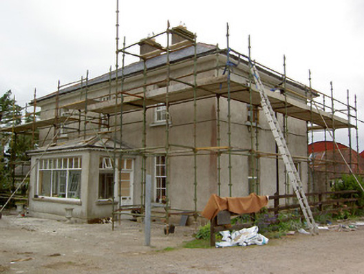 Greenrath Househouse · 1.2 mi
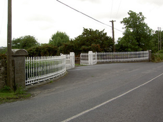 Kingswell Housegates/railings/walls · 1.4 mi
 MoatCastle, motte and bailey · 1.6 mi
 I.R.A. 3rd. Tipperary Brigade MemorialMemorial · 2.3 mi
 European ashEuropean ash · 3.2 mi
 Oola HillMountain / peak · 3.8 mi
 The RockViewpoint · 4.8 mi
Other information
Photo: Credit not shown in the picture search · Rights wording not checked; contact us if this picture should be removed