
What is recorded here
In improved pasture, on a W-facing slope. Remains of an oval area (dims. 23m N-S; 19m E-W) defined by a low scarp (Wth 2m; H 0.15m), which is only barely traceable from SE-SW, and the slight trace of a fosse from W-NW. The field boundary to the S has been removed.
Compiled by: Jean Farrelly
Date of upload: 26 August 2011
A local fairy fort (ringfort/rath); wider significance not recorded.
This remains an important historical record, but the official description says the monument is no longer visible or has been destroyed. The monument record does not grant public access. Check the route and ask the landowner before entering private land.
- What survives
- No visible remains or recorded as destroyed
Places near here
 Enclosure in ClonmorewalkEnclosure · 843 yd
 Enclosure in Raheen LowerEnclosure · 876 yd
 Soloheadbeg Ambush SiteMemorial · 916 yd
 CastleCastle, unclassified · 931 yd
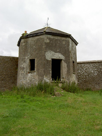 Kingswell Housesummerhouse · 1730 yd
 Soloheadbeg Ambushambush · 1.0 mi
 Old CastleRuins · 1.2 mi
 Greenane Housecountry house · 1.2 mi
 I.R.A. 3rd. Tipperary Brigade MemorialMemorial · 2.0 mi
 It's a long way to TippereryHeritage attraction · 2.1 mi
 European ashEuropean ash · 2.8 mi
 Oola HillMountain / peak · 4.3 mi
Other information
Photo: Credit not shown in the picture search · Rights wording not checked; contact us if this picture should be removed