
What is recorded here
In improved pasture, on top of a hill, with panoramic views. There is a deep quarry to the E. A trigonometric point marks the peak of Solloghodbeg Hill to the W. The castle is not visible at ground level. According to the Civil Survey of 1640, 'on the top of Sollaghodbegg hill stands the stumpe of a castle Irepayreable' (Simington 1934, vol. 2, 54). A curvilinear hachured feature depicted on the 1904 edition OS 6-inch map may be associated with the castle, however, the area has been quarried. A level, grassed-over track (Wth c. 2m) has been cut into the contour of the hill on the W side, with a ramp leading up into the pasture field where the monument is located, it is probably a quarry road. A deep, wide fosse and high earthen bank downslope to the W of the track may also be associated with quarrying activities.
Compiled by: Jean Farrelly
Date of upload: 26 August 2011
The monument record does not grant public access. Check the route and ask the landowner before entering private land.
- What survives
- Recorded monument
Places near here
 Soloheadbeg Ambush SiteMemorial · 122 yd
 Enclosure in Raheen LowerEnclosure · 637 yd
 Enclosure in Rathneaveen (ormond)Enclosure · 931 yd
 Soloheadbeg Ambushambush · 1065 yd
 Shanbally fortCastle, ringwork and bailey · 1.4 mi
 Old CastleRuins · 1.5 mi
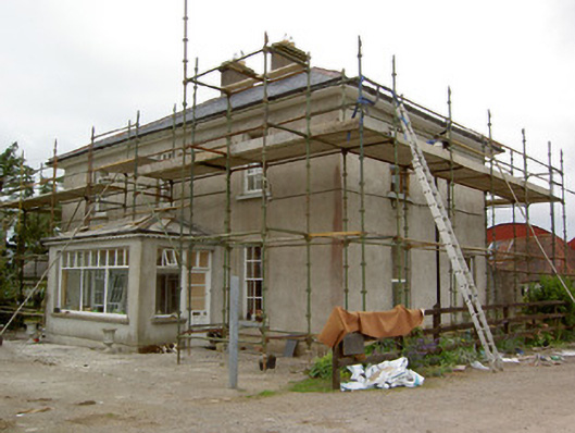 Greenrath Househouse · 1.5 mi
 Greenane Housecountry house · 1.6 mi
 I.R.A. 3rd. Tipperary Brigade MemorialMemorial · 2.5 mi
 It's a long way to TippereryHeritage attraction · 2.6 mi
 European ashEuropean ash · 3.3 mi
 Oola HillMountain / peak · 3.9 mi
Other information
Photo: Credit not shown in the picture search · Rights wording not checked; contact us if this picture should be removed