
What is recorded here
In pasture, on a W-facing slope. A D-shaped area (dims. 33m N-S; 14m E-W) defined by scarp (Wth 1m; H 0.4m), a fosse (Wth 6.2m; D 0.8m) and possible outer bank (Wth 6.9m; int. H 0.8m; ext. H 0.3m) from N-E. The scarp and fosse are evident from NNW-SE, with a stream and the townland boundary (long axis NNW-SSE) defining the monument to the WSW. The possible outer bank may have been incorporated into a linear drainage feature which continues to the SE. The interior is generally level and has clumps of briars. A semi-circular area (dims. 32m N-S; 18m E-W) defined by a gentle scarp (Wth 3.5m; max. H 0.3m) to the W of the townland boundary may indicate a continuation of the natural rise on which the monument is situated. On the 1st (1840) ed. OS 6-inch map a lime kiln is depicted to the W of the enclosure, on the W side of the townland boundary, this may indicate that the western portion of the monument was quarried for stone used in the lime kiln. Enclosure (TS059-063----) is located c. 120m to the SE.
Compiled by: Jean Farrelly
Date of revised upload: 19 October 2015
The monument record does not grant public access. Check the route and ask the landowner before entering private land.
- What survives
- Recorded monument
Places near here
 Enclosure in Newtown (solloghodbeg Par.)Enclosure · 599 yd
 Enclosure in Carron (solloghodbeg Par.),kyle (solloghodbeg Par.)Enclosure · 913 yd
 Soloheadbeg Ambush SiteMemorial · 1253 yd
 CastleCastle, unclassified · 1323 yd
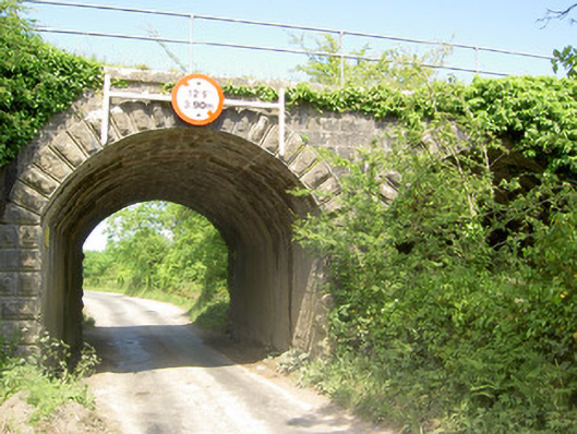 bridgebridge · 1628 yd
 Soloheadbeg Ambushambush · 1746 yd
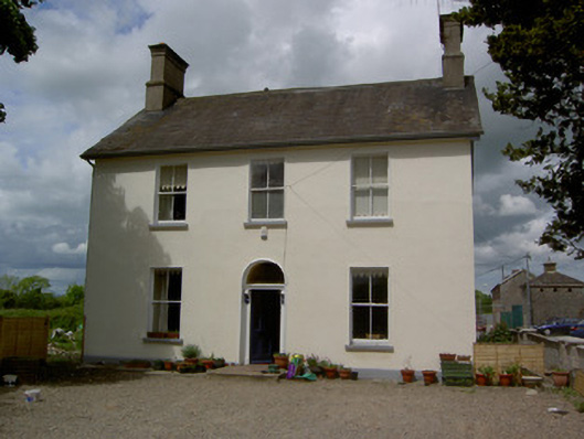 Limerick Junction Railway Stationstation master's house · 1.2 mi
 MoatCastle, motte and bailey · 2.1 mi
 The Maid of ErinMemorial · 2.8 mi
 Oola HillMountain / peak · 3.2 mi
 European ashEuropean ash · 3.9 mi
 Bansha ForestForest · 5.5 mi
Other information
Photo: Credit not shown in the picture search · Rights wording not checked; contact us if this picture should be removed