
What is recorded here
In improved level pasture to N, though poorly drained to the S. Identified as a sub-circular enclosure on an aerial photograph (R.439/8, 16/04/1974) and also partially visible on an ASI aerial photograph (ASIAP (117)13, [n.d.]). A sub-circular area (overall dims. 37m N-S; 34m E-W) defined by the remains of a low bank (Wth 3.8m; int. H 0.15m; ext. H 0.25m) from N-NE, largely reduced to scarp (Wth 1.2-1.6m; H 0.1-0.2) and an external fosse (Wth 3.4-4.4m; D 0.07-0.15m) visible from W-NE. The scarp is quite faint from SE-SSW and a slightly more pronounced from W-N. The interior is grass covered and uneven. The monument is truncated by a field boundary running N-S across the E sector and by a townland boundary (Wth 3m) running E-W across the S sector.
Compiled by: Jean Farrelly
Date of upload: 26 August 2011
The monument record does not grant public access. Check the route and ask the landowner before entering private land.
- What survives
- Recorded monument
Places near here
 Enclosure in Kyle (solloghodbeg Par.),newtown (solloghodbeg Par.)Enclosure · 913 yd
 Enclosure in MonatogherEnclosure · 1003 yd
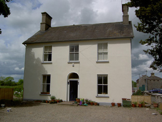 Limerick Junction Railway Stationstation master's house · 1246 yd
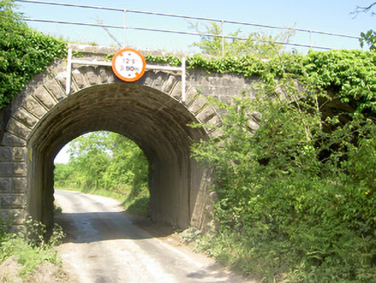 bridgebridge · 1449 yd
 Soloheadbeg Ambush SiteMemorial · 1721 yd
 CastleCastle, unclassified · 1.0 mi
 Soloheadbeg Ambushambush · 1.5 mi
 MoatCastle, motte and bailey · 1.8 mi
 The Maid of ErinMemorial · 2.4 mi
 Oola HillMountain / peak · 3.2 mi
 European ashEuropean ash · 3.9 mi
 The RockViewpoint · 4.8 mi
Other information
Photo: Credit not shown in the picture search · Rights wording not checked; contact us if this picture should be removed