
What is recorded here
In waste ground to NW of the Cork-Dublin railway line. Shown as a hachured ovoid area (dims. c. 20m NE-SW; c. 10m NW-SE) on the 1840 ed. of the OS 6-inch map. The enclosure has been levelled and is not visible at ground level.
Compiled by: Jean Farrelly
Date of upload: 26 August 2011
A local fairy fort (ringfort/rath); wider significance not recorded.
The monument record does not grant public access. Check the route and ask the landowner before entering private land.
- What survives
- Recorded monument
Places near here
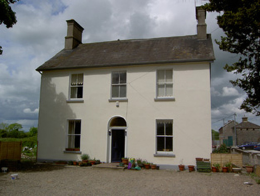 Limerick Junction Railway Stationstation master's house · 352 yd
 Hut site in BallykisteenHut site · 968 yd
 Enclosure in Carron (solloghodbeg Par.),kyle (solloghodbeg Par.)Enclosure · 1003 yd
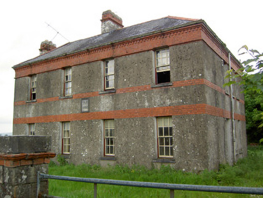 Victoria Houseoffice · 1086 yd
 Soloheadbeg Ambush SiteMemorial · 1.5 mi
 CastleCastle, ringwork · 1.9 mi
 Soloheadbeg Ambushambush · 2.0 mi
 MoatCastle, motte and bailey · 2.0 mi
 The Maid of ErinMemorial · 2.6 mi
 Oola HillMountain / peak · 2.8 mi
 European ashEuropean ash · 4.4 mi
 The RockViewpoint · 4.8 mi
Other information
Photo: Credit not shown in the picture search · Rights wording not checked; contact us if this picture should be removed