What is recorded here
Situated on a fairly level landscape. An arc of a circle formed by low scarp (C 28m) NNE-ESE between a modern NNE-SSW field wall at W and a WNW-ESE field wall and townland boundary with Stonefield at S. A small cairn of stones supports fragments of a disc-headed cross (ME009-0350001-), which is probably 17th century in date.
The above description is derived from the published 'Archaeological Inventory of County Meath' (Dublin: Stationery Office, 1987). In certain instances the entries have been revised and updated in the light of recent research.
Compiled by: Michael Moore
Date of revision: 15 April, 2015
The monument record does not grant public access. Check the route and ask the landowner before entering private land.
- What survives
- Recorded monument
Places near here
 Cross in RahardCross · 23 yd
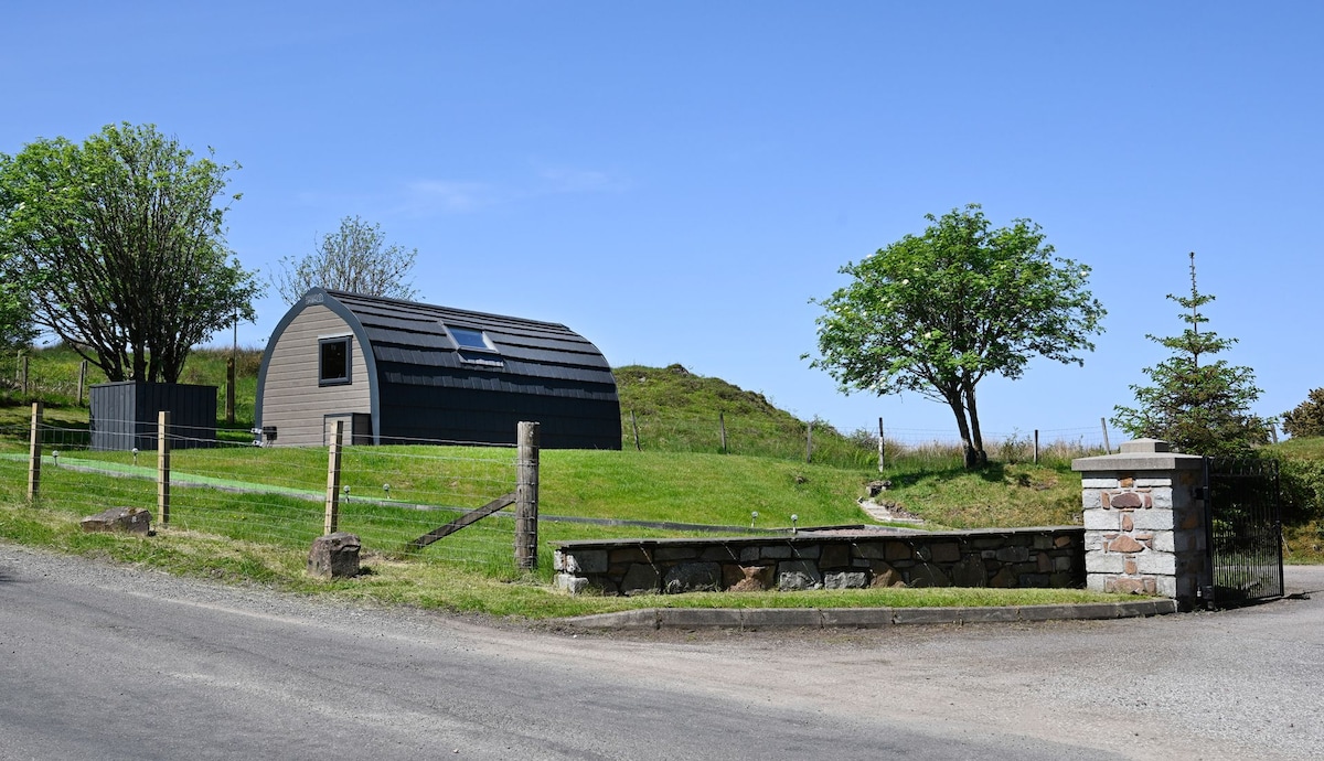 Enclosure in RahardEnclosure · 121 yd
 Drumlerry WetlandForest · 1245 yd
 Oliver Plunkett memorialMemorial · 1759 yd
 Earthen TumulusCastle, motte · 1.3 mi
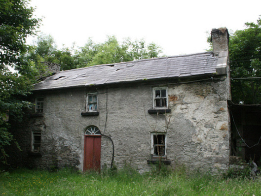 Behernagh Housefarm house · 1.4 mi
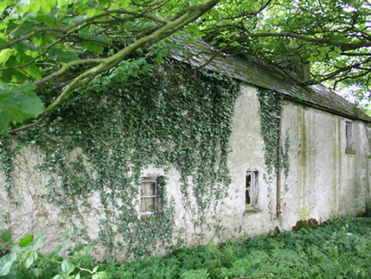 farm housefarm house · 1.4 mi
 Site of Old CastleCastle, unclassified · 1.6 mi
 IslandMountain / peak · 1.8 mi
 Loughcrew Megalithic TombsHeritage attraction · 2.0 mi
 Slieve Na CalliaghMountain / peak · 2.0 mi
 Ballyhist WoodWood · 2.6 mi