
What is recorded here
On a gentle S facing slope. A circular enclosure (diam. c. 25m) hachured on the 1st (1838) ed. 6-inch OS map but not indicated on the subsequent 1907 6-inch OS map. It is not visible at ground level.
Compiled by: Jean Farrelly
Date of upload: 25 September 2012
The monument record does not grant public access. Check the route and ask the landowner before entering private land.
- What survives
- Recorded monument
Places near here
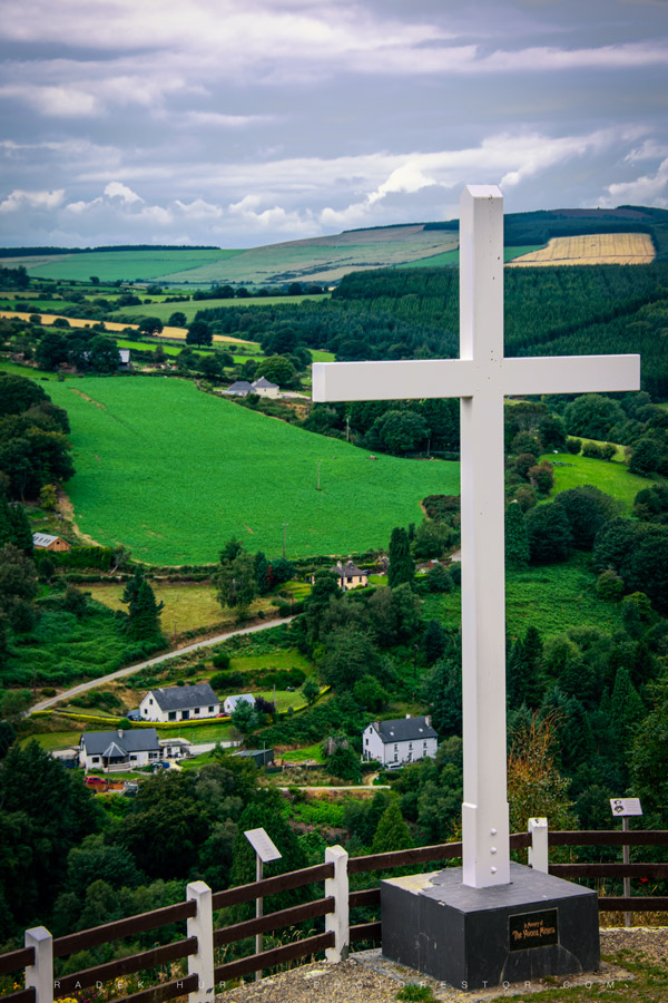 CrossCross · 565 yd
 Ecclesiastical enclosure in KilquigginEcclesiastical enclosure · 717 yd
 R.C. Chapel (in Ruins)Church · 1457 yd
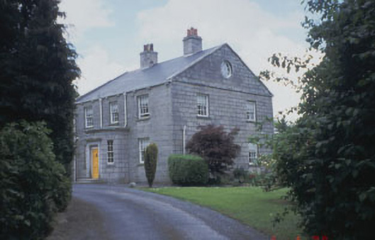 Killinure Housefarm house · 1.8 mi
 Ballynultagh HillMountain / peak · 2.1 mi
 European BeechEuropean Beech · 2.5 mi
 SycamoreSycamore · 2.5 mi
 Church (in ruins), GraveyardChurch · 2.6 mi
 Clonmore Castle (in Ruins)Castle, Anglo-Norman masonry castle · 2.9 mi
 Clonmore MoatCastle, motte and bailey · 3.0 mi
 Eagle HillMountain / peak · 4.8 mi
 Acaun Church (in ruins), GraveyardChurch · 5.4 mi
Other information
Photo: Credit not shown in the picture search · Rights wording not checked; contact us if this picture should be removed