
What is recorded here
On a gentle N-facing slope in pasture. Hachured as a rath on the 1840 and 1920 OS 6-inch maps and on the 25-inch plan. Listed in the SMR (1992) and the RMP (1996) as an enclosure. On inspection in 1999 it was not visible at ground level. Very low traces of some low banks are visible on Google Earth (imagery date 16 January 2011) along what would have been the S perimeter.
Compiled by: Mary Tunney
Date of upload: 19 November 2025
The monument record does not grant public access. Check the route and ask the landowner before entering private land.
- What survives
- Recorded monument
Places near here
 IndicatedFairy fort / stone ringfort · 618 yd
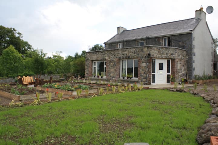 Enclosure in Ballaghboy (inchiquin By.)Enclosure · 657 yd
 Battle of TullyodeaBattlefield · 813 yd
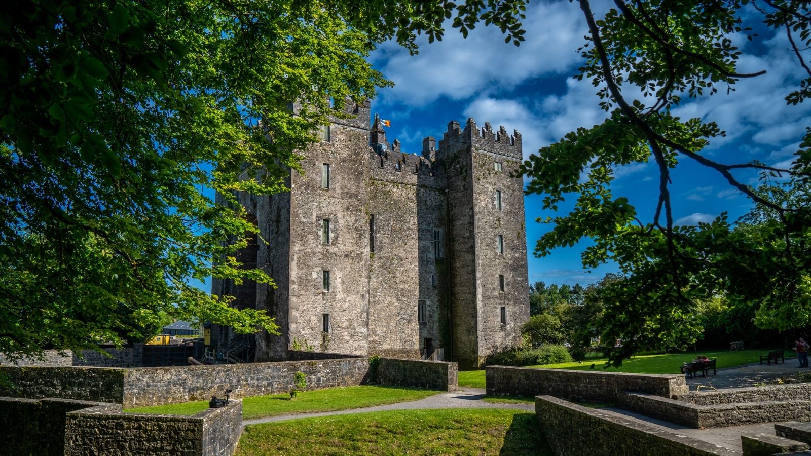 CastleCastle, unclassified · 1.1 mi
 Saint Mary's Catholic Churchchurch/chapel · 1.2 mi
 Church (in ruins)Church · 1.2 mi
 Kilkee Castle (Site of)Castle, unclassified · 1.4 mi
 Ballygriffy WoodWood · 1.8 mi
 Dromore WoodWood · 2.3 mi
 Rock IslandIsland · 3.0 mi
 Inchiquin IslandIslet · 3.2 mi
 Burren National ParkVisitor information · 4.6 mi
Other information
Photo: Credit not shown in the picture search · Rights wording not checked; contact us if this picture should be removed