What is recorded here
Enclosure in Cloonfeaghra is a vanished boundary in County Clare, Ireland, drawn as a rath on maps from 1840 and 1920 but absent from ground and air by 2024. The land is level pasture now, stripped of the field lines that once marked its edges. Whatever life moved inside that circle has left no stone, scar or shadow behind.
In a level area in pasture. Hachured as a rath on the 1840 and 1920 OS 6-inch maps. Listed in the SMR (1992) and the RMP (1996) as an enclosure. Many of the field boundaries on the 1920 map have been cleared. On inspection in 1999 there were no visible remains at ground level. Not visible on any available aerial photography (2024).
Compiled by: Mary Tunney
Date of upload: 19 November 2025
The monument record does not grant public access. Check the route and ask the landowner before entering private land.
- What survives
- Recorded monument
Places near here
 RathcahaunFairy fort / earthen ringfort · 504 yd
 IndicatedFairy fort / stone ringfort · 578 yd
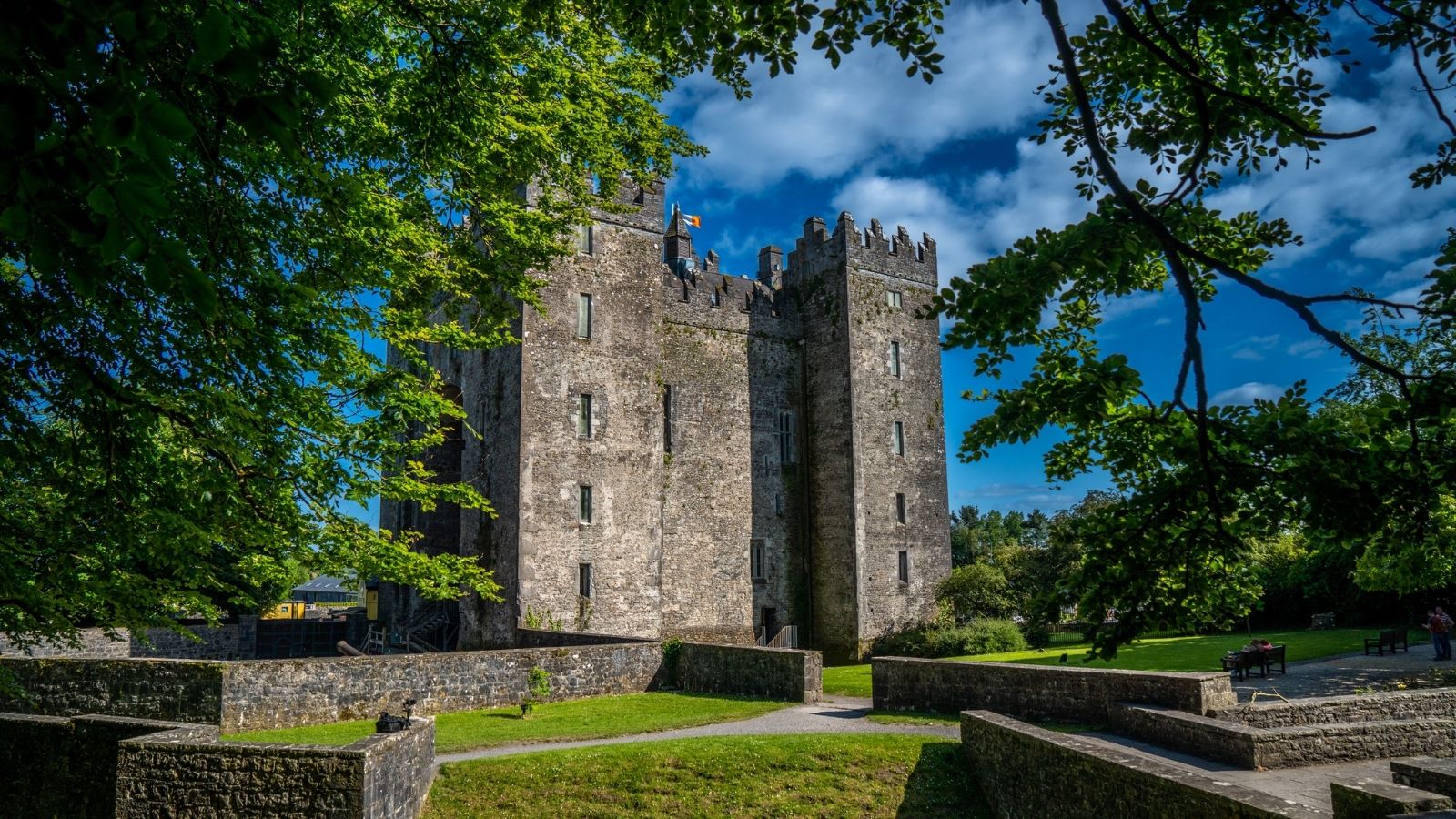 CastleCastle, unclassified · 1396 yd
 Battle of TullyodeaBattlefield · 1661 yd
 Kilkee Castle (Site of)Castle, unclassified · 1664 yd
 Saint Mary's Catholic Churchchurch/chapel · 1.5 mi
 Church (in ruins)Church · 1.5 mi
 Ballygriffy WoodWood · 1.7 mi
 Dromore WoodWood · 2.6 mi
 Rock IslandIsland · 2.9 mi
 Inchiquin IslandIslet · 3.0 mi
 Burren National ParkVisitor information · 4.9 mi