
What is recorded here
On a SW-facing slope in pasture. A raised subcircular area (42.5m E-W; 40.5m N-S) enclosed by a substantial bank of earth and stone (Wth 12-14m; H 1.5-2m) with a very wide, deep, partially waterlogged, external fosse (Wth 10m; D 0.6-1.6m) which is identifiable only from SSW-N-NE. The original entrance is not recognisable. A house (LF009-003002-) is centrally located within the interior.
Compiled by: Patrick F. O'Donovan
Date of upload: 4 February 2012
A local fairy fort (ringfort/rath); wider significance not recorded.
The monument record does not grant public access. Check the route and ask the landowner before entering private land.
- What survives
- Recorded monument
Places near here
 Holy WellHoly well · 1289 yd
 CastleCastle, unclassified · 1.3 mi
 CairnCairn, unclassified · 1.4 mi
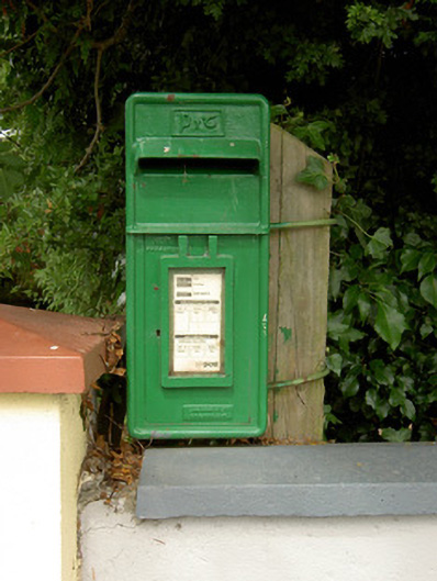 post boxpost box · 1.7 mi
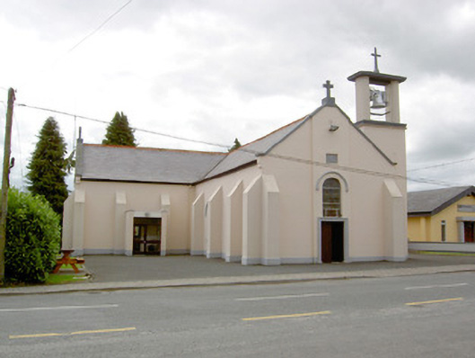 Saint Mary's Catholic Churchchurch/chapel · 1.7 mi
 Bully's Acregraveyard/cemetery, unknown · 3.9 mi
 Common LimeCommon Lime · 4.4 mi
 Pedunculate OakPedunculate Oak · 4.4 mi
 CastleforbesCastle · 4.6 mi
 Saint Mel's CathedralCathedral · 5.2 mi
 Ballinamuck Bog LoopWalking route · 5.2 mi
 First World War MemorialMemorial · 5.3 mi
Other information
Photo: Credit not shown in the picture search · Rights wording not checked; contact us if this picture should be removed