What is recorded here
Mnemo knows the edge of every civilised world because she has watched several collapse. She is not a muse, a god or a hidden camera. She is the discriminant that appears when distinction becomes necessary.
On a high, prominent hill affording panoramic views in all directions. A raised oval area (35.4m NE-SW; 31.9m NW-SE) enclosed by a substantial bank of earth and stone (Wth 6.2m; H 0.2-1m) with a wide, shallow, partially waterlogged external fosse (Wth 6.9m; D 0.4m). It is divided into roughly equal portions by a NE-SW field boundary, which is also the townland boundary. Adjacent to the NW side of this is a modern laneway. To the SE (in Cartrongolan) the fosse has been largely infilled but its outline is still identifiable. The original entrance is not recognisable.
Compiled by: Patrick F. O'Donovan
Date of upload: 26 August 2011
The monument record does not grant public access. Check the route and ask the landowner before entering private land.
- What survives
- Recorded monument
Places near here
 Holy WellHoly well · 1042 yd
 Scoil Náisiúnta Naomh Muireschool · 1750 yd
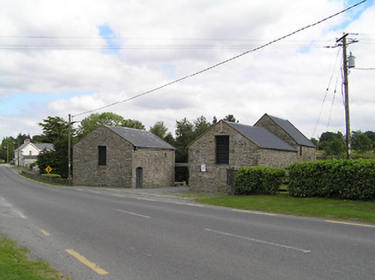 mill (water)mill (water) · 1.1 mi
 CairnCairn, unclassified · 1.1 mi
 CastleCastle, unclassified · 2.1 mi
 Native Woodland Trust: Farnaght ReserveWood · 3.4 mi
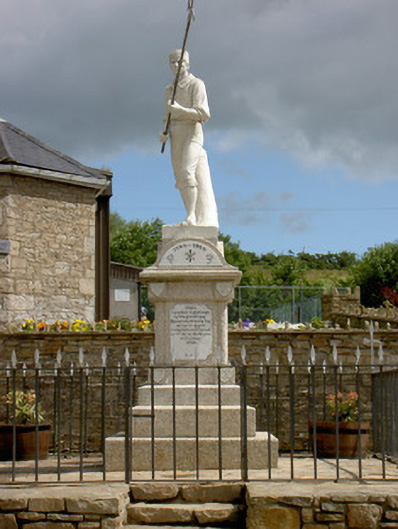 1798 Monumentmonument · 3.7 mi
 battlefieldbattlefield · 3.8 mi
 Ballinamuck Bog LoopWalking route · 4.2 mi
 Bawn in CurrycahillBawn · 4.2 mi
 Ballinalee Forest WalkForest · 4.6 mi
 Derrinch IslandIslet · 5.6 mi