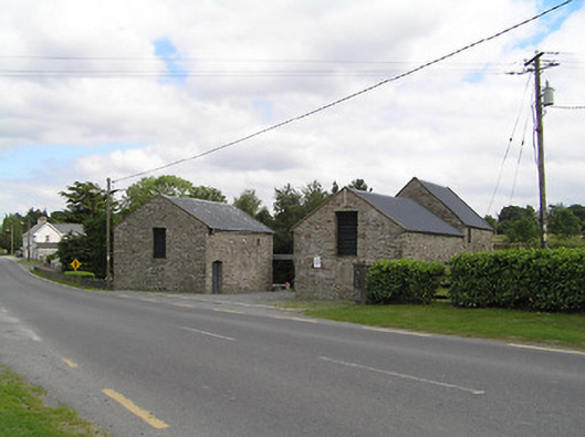
What is recorded here
Former corn mill complex, built c. 1800, comprising a single-storey corn mill to the north with attic storey and a single-storey former corn kiln to the south. Overshot composite (iron and timber) water wheel (c. 4 metres in diameter) to east elevation of corn mill, fed by elevated iron aqueduct carrying headrace. Pitched corrugated-metal roofs, with cut stone eaves course. Rubble stone walls. Square-headed window openings with louvred vents, some with wrought-iron bars. Segmental-headed door opening to building to north with battened timber door and square-headed door opening to south building, both with timber battened doors. Set adjacent to road, both building with gables facing road alignment. Gravel yard between buildings. Located to the northeast of Drumlish. Former millrace runs from the south to the north.
This simple and functional former corn mill complex retains its early form and character. Of particular interest is the survival of the composite water wheel and the elevated headrace, which provides an interesting insight into historic industrial processes. This complex probably dates to the late-eighteenth or the early-nineteenth-century, a period that saw a great boom in the Irish corn milling industry. Owned by the Rodgers family for nearly two centuries, it was a flourishing business until the 1950s, crushing corn and milling oats for a wide hinterland. The complex was in the ownership of a Thomas Rodgers c. 1854 (Valuation Office Mill Books) and consisted of a house, office, mill, kiln and land (11 acres) and had a ratable value of £17 at this time. Although this complex is now out of use, it remains an important element of the industrial and economic history of the area, and creates historic incident along the main approach road into Drumlish from the east.
This does not grant access. Most recorded buildings are privately owned; view them only from public ground unless the owner allows entry.
Places near here
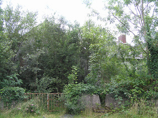 Scoil Náisiúnta Naomh Muireschool · 377 yd
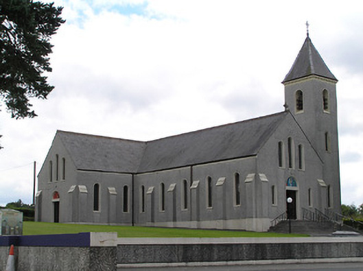 Saint Mary's Catholic Churchchurch/chapel · 447 yd
 CahirFairy fort / ringfort · 1.2 mi
 Dermot & Grania's BedArchaeological place · 1.2 mi
 Native Woodland Trust: Farnaght ReserveWood · 2.5 mi
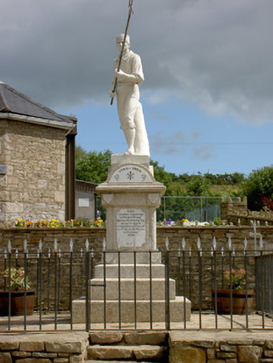 1798 Monumentmonument · 3.4 mi
 Battle of BallinamuckMajor battlefield · 3.5 mi
 OratoryCastle, tower house · 4.2 mi
 Ballinamuck Bog LoopWalking route · 4.3 mi
 Derrinch IslandIslet · 4.5 mi
 CastleCastle, unclassified · 4.9 mi
 Common LimeCommon Lime · 5.0 mi
Other information
Photo: National Inventory of Architectural Heritage · Website use allowed for educational or private purposes with source credit