What is recorded here
Situated on a slight SE-facing slope. A series of enclosures and linear features visible as cropmarks on a Digital Globe aerial photograph (taken 13 July 2011; SMR file). A smaller inner sub-circular enclosure (diam. c. 44m E-W) is tangentially situated within and at the W edge of a larger enclosure (diam. c. 75m) which, in turn, is abutted by remnants of other linear features and small field-like enclosures probably indicating a field system (LH024-074001-). The features are also visible on Map Genie (1995).
See the attached view from Digital Globe
Compiled by: Paul Walsh
Date of upload: 30 March 2014
Amended: 9 June 2023
The monument record does not grant public access. Check the route and ask the landowner before entering private land.
- What survives
- Recorded monument
Places near here
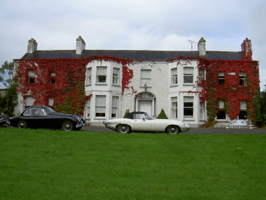 Newtown Househouse · 323 yd
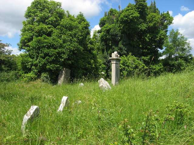 RuinsChurch · 425 yd
 Concentric enclosure in Newtownstaballen (ferrard By; Beulieu Par.)Concentric enclosure · 807 yd
 Beaulieu House and GardensHeritage attraction · 1249 yd
 Burial GroundChurch · 1591 yd
 Site of Old CastleCastle, unclassified · 1.6 mi
 RuinCastle, tower house · 1.8 mi
 Siege of Droghedasiege · 1.9 mi
 Millmount MuseumMuseum · 2.0 mi
 Newgrange Business ParkMemorial · 3.2 mi
 Yellow IslandIslet · 3.7 mi
 Grove IslandIslet · 4.0 mi