
What is recorded here
Colpe castle fell to Lord Moore of Mellifont in 1642, yet it remained habitable through the 1650s when John Draycott and John Balfe shared its forty-eight acres. A tower and two houses still stood near the church when surveyed in 1656. The earth has since swallowed the walls, leaving only a low-lying field where that stubborn stone once resisted forgetting.
Two houses and a tower in the vicinity of the church at Colp (8) are depicted on the Down Survey (1656-8) barony map of Duleek (http://downsurvey.tcd.ie/). According to the Civil Survey (1654-6) John Draycott of Mornanstowne and John Balfe of Colpe jointly owned 480 acres at Colpe, including ‘a house and some cabins’ (Simington 1940, 4). The castle at Colpe was captured by Lord Moore of Mellifont in 1642 and it was still described as habitable in the 1650s (Waters 1965, 262). It is described as the site of an old castle but not clearly delineated on the 1836 ed. of the OS 6-inch map. There is no visible trace of any structure in a low-lying landscape and the precise location is not certain. (Bradley and King 1985, 31-2)
The above description is derived from the published 'Archaeological Inventory of County Meath' (Dublin: Stationery Office, 1987). In certain instances the entries have been revised and updated in the light of recent research.
Compiled by: Michael Moore
Date of revision: 9 June 2016
John Draycott of Mornans held the site in the mid-17th century. The site is important as it appears on early land surveys, indicating its presence during the turbulent period of Confederate Wars and Cromwellian conquest in Ireland.
This remains an important historical record, but the official description says the monument is no longer visible or has been destroyed. The monument record does not grant public access. Check the route and ask the landowner before entering private land.
- What survives
- No visible remains or recorded as destroyed
Places near here
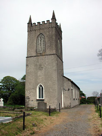 Saint Columba's Church (Colp)church/chapel · 83 yd
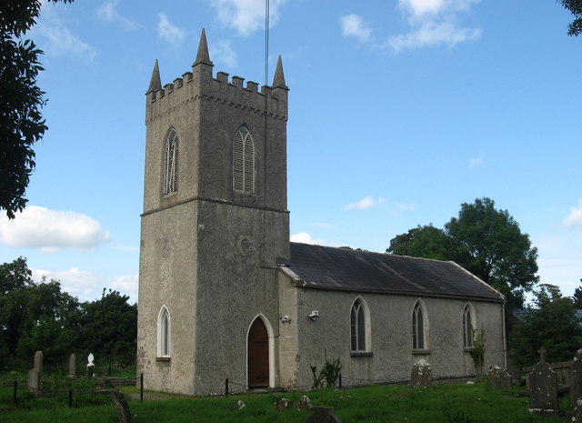 St. Columbas ChurchChurch · 93 yd
 Site of Colpa FortFairy fort / earthen ringfort · 96 yd
 Enclosure in Colp WestEnclosure · 761 yd
 RuinCastle, tower house · 1185 yd
 Beaulieu House and GardensHeritage attraction · 1.4 mi
 Ballygarth CastleCastle · 2.6 mi
 Battle of Julianstownbattle · 2.7 mi
 Newgrange Business ParkMemorial · 3.4 mi
 Yellow IslandIslet · 4.4 mi
 Ben HeadCliff · 4.7 mi
 Grove IslandIslet · 4.8 mi
Other information
Photo: Credit not shown in the picture search · Rights wording not checked; contact us if this picture should be removed