What is recorded here
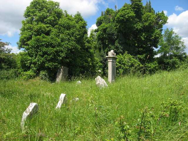
Located at the E end of a low ENE-WSW ridge. This is probably the parish church of a detached part of Tullyallen parish. The name ‘Teach Liobáin’ is derived from St Libhear, who succeeded St Cainneach or Canice as abbot at the sixth century monastery of Aghaboe (LA022-019001-) (Ó Riain 2011, 396-7). The name is attested in a charter of Mellifont abbey (LH023-027002-) in 1203 (Garry 1977, 59-60), and the abbey still held land at Stalebon at the suppression in 1540 (White 1943, 215). The church is not mentioned in that inquisition, so it might already have been derelict, and it is described as a ruin on Taylor and Skinner’s map of County Louth in 1778. Featureless portions of the E and W gables of a simple rectangular church (max. dims 10m x 5m) survive. There is no evidence of a doorway in the W gable which may indicate that it was a late medieval church. A stoup which had been kept nearby at Newtown House and is now in the Millmount Museum (LH024-04119-) is probably from this church (Campbell 2019).
The above description is derived from both the published 'Archaeological Inventory of County Louth' (Dublin: Stationery Office, 1986) and the 'Archaeological Survey of County Louth' (Dublin: Stationery Office, 1991). In certain instances the entries have been revised and updated in the light of recent research.
Date of upload: 17 July 2007
Amended: 30 December 2020
The monument record does not grant public access. Check the route and ask the landowner before entering private land.
- What survives
- Recorded monument
Places near here
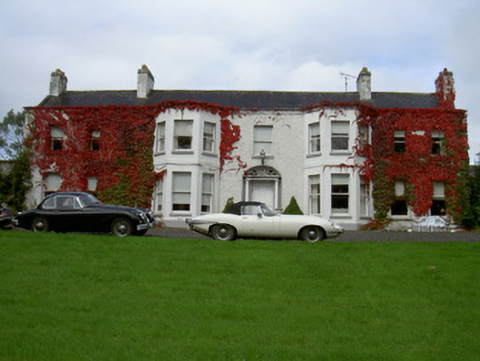 Newtown Househouse · 602 yd
 Concentric enclosure in Newtownstaballen (ferrard By; Beulieu Par.)Concentric enclosure · 763 yd
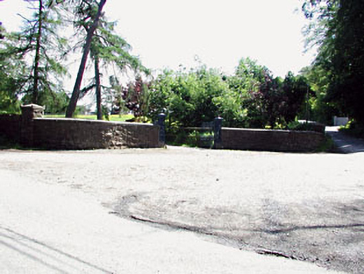 Bayview Housegates/railings/walls · 981 yd
 Beaulieu House and GardensHeritage attraction · 1174 yd
 Burial GroundChurch · 1214 yd
 Site of Old CastleCastle, unclassified · 1.3 mi
 RuinCastle, tower house · 1.6 mi
 Siege of Droghedasiege · 1.9 mi
 Millmount MuseumMuseum · 1.9 mi
 Newgrange Business ParkMemorial · 3.1 mi
 Yellow IslandIslet · 3.8 mi
 Battle of Julianstownbattle · 4.0 mi
Other information
Photo: Kieran Campbell · CC BY-SA 2.0