
What is recorded here
Situated on a rise on a slight N facing slope with the W-E estuary of the River Boyne c. 400m to the N. ‘Stagrennan of St. James’ is a possession of the Augustinian priory of Llanthony in Gloucestershire at the Suppression in 1540 (White 1943, 315), and a church is represented at Stagrennan on the Down Survey (1656-8) barony map of Duleek while the terrier or commentary records ‘an old church at Stagrennan’ (D’Alton 1844, vol. 2, 447). However, Stagrennan is not recorded in the visitations of Ussher (1622) or Dopping (1682-5) as a church in the Duleek deanery (Erlington 1847-64 1, lxi-lxviii; Ellison 1971, 33-7). Sixty acres at Stagrinnan were held by John Bellew of Stammeen in 1640 (Simington 1940, 3).
The remains of a rectangular building (ext. dims c. 9m E-W; c. 6m N-S) can be traced within a rectangular graveyard (dims c. 50m NE-SW; c. 30m NW-SE) with some 19th century headstones and deciduous trees. The E gable survives but the cut stone from its pointed window arch is robbed. For the Down Survey barony map of Duleek see this web page accessed on 11 June, 2014: http://downsurvey.tcd.ie/down survey maps.php#bm=Duleek&c=Meath
The above description is derived from the published 'Archaeological Inventory of County Meath' (Dublin: Stationery Office, 1987). In certain instances the entries have been revised and updated in the light of recent research.
Compiled by: Michael Moore
Date of upload/revision: 13 June, 2014
The monument record does not grant public access. Check the route and ask the landowner before entering private land.
- What survives
- Recorded monument
Places near here
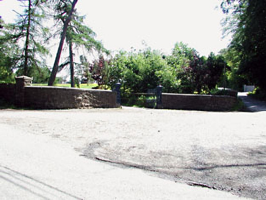 Bayview Housegates/railings/walls · 1017 yd
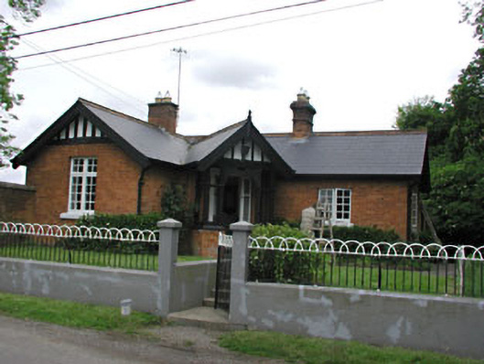 The Glengate lodge · 1044 yd
 Concentric enclosure in Newtownstaballen (ferrard By; Beulieu Par.)Concentric enclosure · 1165 yd
 Enclosure in Colp WestEnclosure · 1175 yd
 Site of Old CastleCastle, unclassified · 1637 yd
 Beaulieu House and GardensHeritage attraction · 1.2 mi
 RuinCastle, tower house · 1.5 mi
 Millmount MuseumMuseum · 1.5 mi
 Siege of Droghedasiege · 1.5 mi
 Newgrange Business ParkMemorial · 2.7 mi
 Battle of Julianstownbattle · 3.4 mi
 Yellow IslandIslet · 3.6 mi
Other information
Photo: Credit not shown in the picture search · Rights wording not checked; contact us if this picture should be removed