
What is recorded here
On a W-facing slope in woodland. Marked on the 1838 edition of the OS 6-inch map as a small roughly circular enclosure (diam. c. 20m), most of which was overlain by a NE-SW running road (Wth c. 10m). Apart from a curving bank visible to the SE of the road, no visible surface trace survives.
Compiled by: Galway Archaeological Survey, UCG
Date of upload: 30 July 2019
A local fairy fort (ringfort/rath); wider significance not recorded.
The monument record does not grant public access. Check the route and ask the landowner before entering private land.
- What survives
- Recorded monument
Places near here
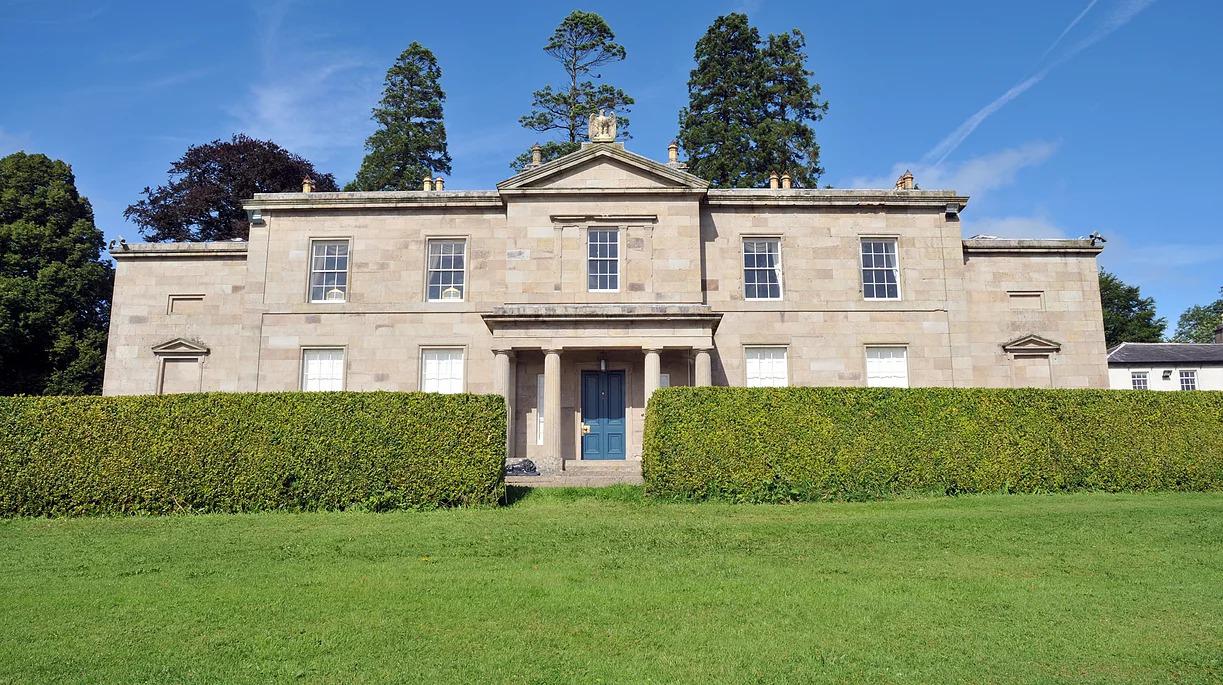 Cappard Ho.House, 18th/19th century · 1.0 mi
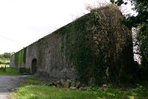 Cappard Houseoutbuilding · 1.1 mi
 Enclosure in LissadultaEnclosure · 1.6 mi
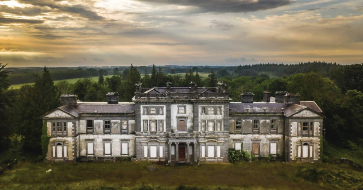 Enclosure in Doonally WestEnclosure · 1.7 mi
 KnockapollboyMountain / peak · 2.2 mi
 Bawn in Cloghaun (loughrea By.)Bawn · 2.3 mi
 Rahaly Castle (in ruins)Castle, tower house · 2.8 mi
 Scalpeen RockNamed rock · 3.4 mi
 KnocknarebanaMountain / peak · 3.7 mi
 European ashEuropean ash · 4.2 mi
 HawthornHawthorn · 4.3 mi
 Derrybrien Bog SlideHeritage attraction · 4.6 mi
Other information
Photo: Credit not shown in the picture search · Rights wording not checked; contact us if this picture should be removed