What is recorded here
Situated in low-lying, wet, rushy terrain adjacent to a river flowing E-W immediately S of possible site. Site not marked on 1st (1840) or 2nd (1904) ed. OS 6-inch map but appears clearly as an oval enclosure on aerial photograph (GSI June 1973 S.80/79). Ground surface in field is quite uneven with a lot of little hummocks. No visible trace of site above ground.
The above description is derived from 'The Archaeological Inventory of County Tipperary. Vol. 1 - North Tipperary' compiled by Jean Farrelly and Caimin O'Brien (Dublin: Stationery Office, 2002). In certain instances the entries have been revised and updated in the light of recent research.
Date of upload/revision: 22 September 2008
This remains an important historical record, but the official description says the monument is no longer visible or has been destroyed. The monument record does not grant public access. Check the route and ask the landowner before entering private land.
- What survives
- No visible remains or recorded as destroyed
Places near here
 Clonmeen Burial GroundChurch · 812 yd
 Enclosure in Timoney HillsEnclosure · 957 yd
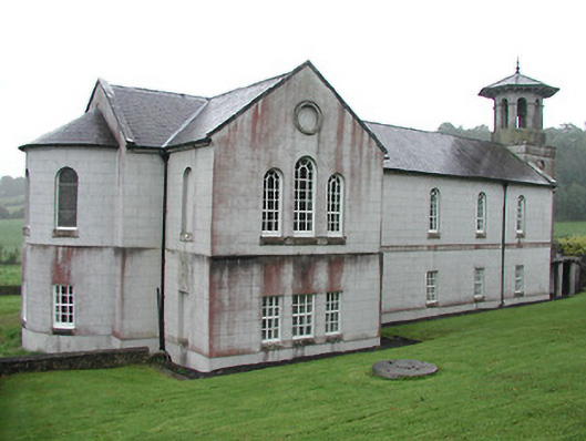 Christ Church (Corbally)mill (water) · 1.3 mi
 The Rectoryrectory/glebe/vicarage/curate's house · 1.3 mi
 Carricknasrock WoodWood · 1.4 mi
 Castle (in Ruins)Castle, tower house · 1.6 mi
 Black HillMountain / peak · 1.7 mi
 Bawn in Castlefleming Stubber,garrisonBawn · 2.3 mi
 European BeechEuropean Beech · 4.1 mi
 Roscrea Petty Sessions HouseHeritage attraction · 5.6 mi
 College HillMountain / peak · 6.9 mi
 Cnoc SeanrathaMemorial · 8.1 mi
Other information
Photo: Credit not shown in the picture search · Rights wording not checked; contact us if this picture should be removed