
What is recorded here
Visible on an aerial photograph (GSI N 414-5) as the cropmark of a possible large, circular enclosure. On level pasture overlooking slightly lower ground NW-N-NE. The cropmark was not visible at ground level in 1986 (SMR file).
Compiled by: Gearóid Conroy
Date of upload: 20 October 2011
A local fairy fort (ringfort/rath); wider significance not recorded.
The monument record does not grant public access. Check the route and ask the landowner before entering private land.
- What survives
- Recorded monument
Places near here
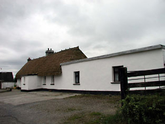 farm housefarm house · 401 yd
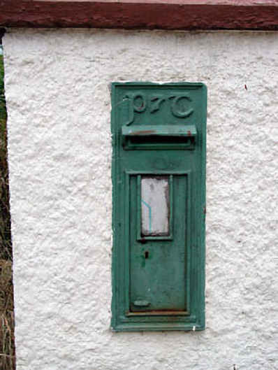 post boxpost box · 431 yd
 Enclosure in MountriceEnclosure · 897 yd
 Enclosure in Ummeras BegEnclosure · 1622 yd
 Bawn in Lackagh BegBawn · 2.0 mi
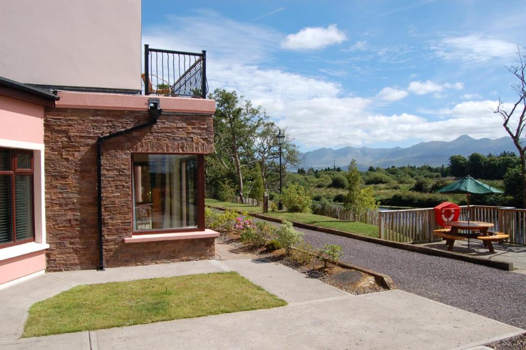 Lodge GroveWood · 2.5 mi
 Offaly CastleCastle, tower house · 2.7 mi
 European YewEuropean Yew · 2.8 mi
 Bithia Mary CrokerMemorial · 3.8 mi
 Bog Lake WalkWalking route · 6.3 mi
 Derryounce Walk (Yellow Loop)Walking route · 6.3 mi
 The Fairy BowerHeritage attraction · 7.6 mi
Other information
Photo: Credit not shown in the picture search · Rights wording not checked; contact us if this picture should be removed