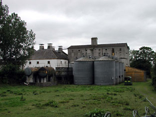
What is recorded here
Detached eight-bay seven-storey double-pile rubble stone mill, dated 1801, with four-bay seven-storey side elevation to north having four-bay three-storey lean-to projecting bay. Reroofed, c.1940. Gable-ended double-pile (M-profile) roof (pitches altered, c.1940; lean-to to projecting bay). Replacement corrugated-iron, c.1940. Iron ridge tiles. Timber eaves. Replacement iron rainwater goods, c.1940. Roughcast walls over rubble stone construction. Unpainted. Mass concrete, c.1940, to upper floor. Square-headed window openings. Stone sills. Red brick dressings. Most openings now blocked-up with concrete block. Set within own grounds.Attached seven-bay four-storey rubble stone warehouse range, dated 1801, to south. Reroofed, c.1940. Gable-ended roof. Replacement corrugated-iron, c.1940. Iron ridge tiles. Iron rainwater goods on rendered eaves course. Rendered walls (probably over rubble stone construction). Painted. Square-headed window openings. Stone sills. 3/3 timber sash windows.Mill race, c.1805, to west with cut-stone retaining walls.
Ballykelly Malthouse, a large complex in good condition, retains much of its original appearance and character and is a good example of an early nineteenth-century industrial building in the region. The primary elevations, composed of a massive wall masses pierced with small openings, reveal the utilitarian nature of the building that was required to be cool and damp proof. The mill is of considerable historical and social importance as the focal point for local agricultural activities and a centre of employment in the past, and the building continues this function at present. The evidence of a former mill race to the site is of technical interest. The mill is a prominent landmark from the roadside nearby and dominates its surroundings. Original materials remain in situ, including the traditional stone construction and timber sash fenestration to the range to south.
This does not grant access. Most recorded buildings are privately owned; view them only from public ground unless the owner allows entry.
Places near here
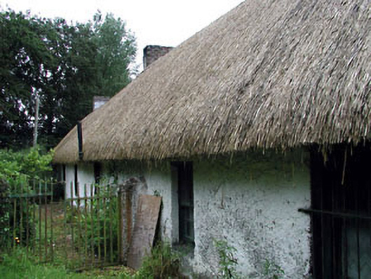 farm housefarm house · 141 yd
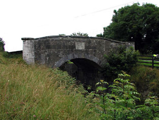 Macartney's Bridge and Locksbridge · 446 yd
 Enclosure in Coolsickin OR QuinsboroughEnclosure · 970 yd
 Enclosure in Mullaghroe UpperEnclosure · 1.3 mi
 Lodge GroveWood · 1.5 mi
 European YewEuropean Yew · 1.8 mi
 Bawn in Lackagh BegBawn · 2.8 mi
 Lea Castle (in ruins)Castle, Anglo-Norman masonry castle · 3.8 mi
 Bithia Mary CrokerMemorial · 5.0 mi
 Bog Lake WalkWalking route · 5.5 mi
 Derryounce Walk (Yellow Loop)Walking route · 5.6 mi
 The Fairy BowerHeritage attraction · 8.8 mi
Other information
Photo: National Inventory of Architectural Heritage · Website use allowed for educational or private purposes with source credit