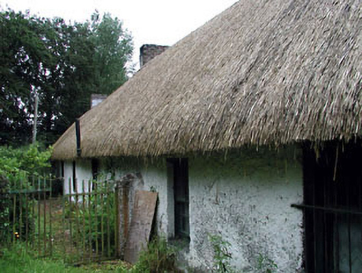
What is recorded here
Detached six-bay single-storey lobby entry thatched farmhouse, extant 1837, on a T-shaped plan; two-bay (single-bay deep) single-storey lean-to return (east). Now disused. Pitched oat straw thatch roof centred on lean-to slate roof (east), rope twist ridge with exposed hazel stretchers having exposed scallops, concrete or rendered coping to gables with red brick Running bond chimney stacks to apexes having corbelled stepped stringcourses below capping, and exposed hazel or sally stretchers to eaves having exposed scallops. Roughcast battered wall to front (west) elevation; roughcast surface finish (remainder) on rendered plinth. Square-headed window openings with concealed dressings including timber lintels framing six-over-six timber sash windows having part exposed sash boxes. Square-headed window openings to rear (east) elevation with shallow sills, and concealed dressings framing two-over-two timber sash windows having part exposed sash boxes. Set perpendicular to road with rendered piers to perimeter having pyramidal capping supporting flat iron gate.
A farmhouse identified as an important component of the vernacular heritage of County Kildare by such attributes as the alignment perpendicular to the road; the lobby entry plan form; the construction in unrefined local fieldstone displaying a feint battered silhouette; the disproportionate bias of solid to void in the massing; and the high pitched roof showing an oat straw thatch finish: meanwhile, aspects of the composition clearly illustrate the continued linear development of the farmhouse in the later nineteenth century. A period of unoccupancy notwithstanding, the form and massing survive intact together with substantial quantities of the original fabric, both to the exterior and to the interior, thus upholding the character or integrity of the composition. Furthermore, adjacent limewashed outbuildings (----) continue to contribute positively to the group and setting values of a self-contained ensemble making a pleasing visual statement in a rural street scene.
This does not grant access. Most recorded buildings are privately owned; view them only from public ground unless the owner allows entry.
Places near here
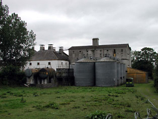 Ballykelly Malthousemill (water) · 141 yd
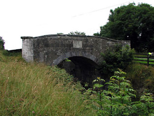 Macartney's Bridge and Locksbridge · 535 yd
 Enclosure in Coolsickin OR QuinsboroughEnclosure · 1054 yd
 Enclosure in Mullaghroe UpperEnclosure · 1.3 mi
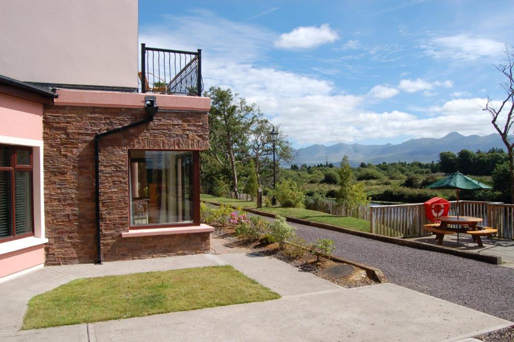 Lodge GroveWood · 1.5 mi
 European YewEuropean Yew · 1.7 mi
 Bawn in Lackagh BegBawn · 2.7 mi
 Lea Castle (in ruins)Castle, Anglo-Norman masonry castle · 3.8 mi
 Bithia Mary CrokerMemorial · 5.0 mi
 Bog Lake WalkWalking route · 5.6 mi
 Derryounce Walk (Yellow Loop)Walking route · 5.7 mi
 The Fairy BowerHeritage attraction · 8.9 mi
Other information
Photo: National Inventory of Architectural Heritage · Website use allowed for educational or private purposes with source credit