What is recorded here
Shows on aerial photo (GSI N 550/549) as a faint cropmark. Its topographical location in a wet area and partly on a low hill would not suggest a site of archaeological interest. No surface trace.
The above description is derived from the published 'Archaeological Inventory of County Offaly' (Dublin: Stationery Office, 1997). In certain instances the entries have been revised and updated in the light of recent research.
Date of upload: 23 May 2011
The monument record does not grant public access. Check the route and ask the landowner before entering private land.
- What survives
- Recorded monument
Places near here
 IndicatedEnclosure · 387 yd
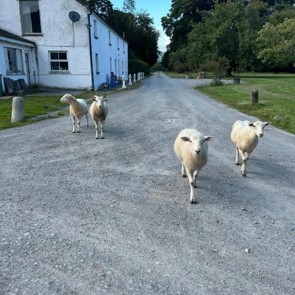 Enclosure in CloneenEnclosure · 919 yd
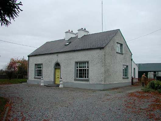 Mayvillehouse · 1564 yd
 Montrath Castle (in ruins)Castle, tower house · 1736 yd
 Cruil HillMountain / peak · 1.1 mi
 Partially hachuredBawn · 1.3 mi
 Lackan HillMountain / peak · 1.4 mi
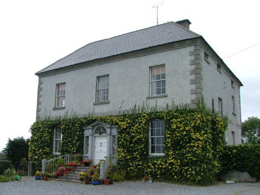 Kilduff Housecountry house · 1.5 mi
 Saint Clavin's WellSpring · 1.7 mi
 Finnrenashark Holy WellSpring · 3.2 mi
 Croghan Hill WalkVisitor information · 3.3 mi
 Croghan HillMountain / peak · 3.3 mi