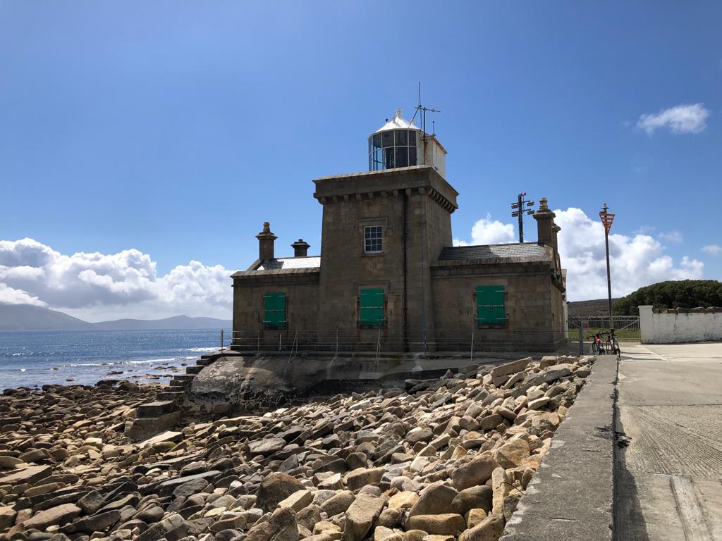
What is recorded here
In average pasture, located on a slight rise with extensive views to N and NE.
This possible enclosure is not shown on the 1838 OS 6-inch map; it is shown on the 1929 edition as a semi-circular area (c. 25m N–S; c. 15m E–W) bordered on the straight side to W by a N–S field boundary. On the map the semicircle is depicted with hachuring which are oriented to represent a sunken interior.
There are no remains visible that correspond to the feature depicted on the OS map. According to local information, there was a small, roughly circular mound, ‘about 5 feet high [c. 1.5m]’ with a narrow top, at this location. A slight rise (diam. c. 12-14m N-S) in ground level is evident adjacent to the N-S field boundary, but no other trace of a mound. A farm track now skirts the W edge of the location.
Compiled by: Jane O’Shaughnessy
Date of upload: 25 April 2019
A local fairy fort (ringfort/rath); wider significance not recorded.
The monument record does not grant public access. Check the route and ask the landowner before entering private land.
- What survives
- Recorded monument
Places near here
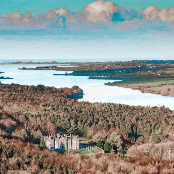 IndicatedFairy fort / earthen ringfort · 419 yd
 TobercashleenHoly well · 456 yd
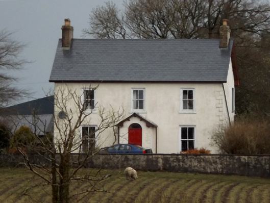 mansemanse · 470 yd
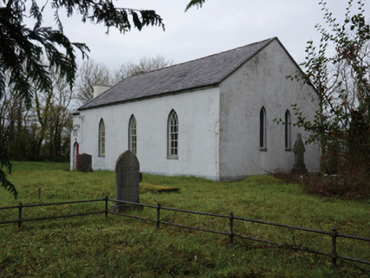 Mullafarry Presbyterian Churchchurch/chapel · 711 yd
 Bawn in Meelick (tirawley By.)Bawn · 1520 yd
 Bawn in FarraghBawn · 1535 yd
 Battle of Killalabattle · 1.2 mi
 Green IslandIslet · 1.6 mi
 Battlefields of MoyneBattlefield · 1.8 mi
 Moyne AbbeyHeritage attraction · 2.2 mi
 Rinnaun PointHeadland · 2.2 mi
 Bartragh IslandIsland · 2.7 mi
Other information
Photo: Credit not shown in the picture search · Rights wording not checked; contact us if this picture should be removed