What is recorded here
Noted in 1915 (CLAJ 1915, 387) as being located 'a few perches further on (from the Ogham Stone, LH017-036----) towards Dunleer on the edge of the field on the opposite side of the road' and described as 'the half circular remains of a small mound or round fort, only a couple of feet higher than the present prevailing level. It would seem as if the rest of the circle might have projected into the space now occupied by the road and have been worn down or cut away in the making or improvement of the roadway or its ditch'. It has not proved possible to locate this feature.
Compiled by: Claire Breen
Date of upload: 27 June 2012
The monument record does not grant public access. Check the route and ask the landowner before entering private land.
- What survives
- Recorded monument
Places near here
 Mullacurry Race CourseRuins · 915 yd
 Not idicatatedCastle, unclassified · 1068 yd
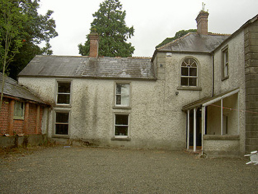 Toberdoney Househouse · 1339 yd
 Trinity WellHoly well · 1355 yd
 IndicatedHoly well · 1402 yd
 Rocjardstown CastleCastle, tower house · 1.2 mi
 Monterey CypressMonterey Cypress · 1.2 mi
 Graveyard in Richardstown (ardee By., Richardstown Par.)Graveyard · 1.2 mi
 Graveyard in StickillinGraveyard · 1.5 mi
 Rathescar Lakeside WalkWood · 1.8 mi
 Mount OrielMountain / peak · 3.8 mi
 Black HillMountain / peak · 4.0 mi