What is recorded here
On a slight rise in undulating pastureland. This subrectangular enclosure (66.5m N-S; 50.6m E-W) is defined by a bank of earth and stone. Quarrying has encroached upon it at E. McCaffrey (1952, 260, no. 12) noted an external fosse on the W side; no visible surface trace of it survives.
Compiled by: Galway Archaeological Survey, UCG
Date of upload: 18 April 2019
The monument record does not grant public access. Check the route and ask the landowner before entering private land.
- What survives
- Recorded monument
Places near here
 IndicatedFairy fort / stone ringfort · 679 yd
 CaveMan-made underground passage · 1171 yd
 Cloghastookeen Castle (in ruins)Castle, unclassified · 1250 yd
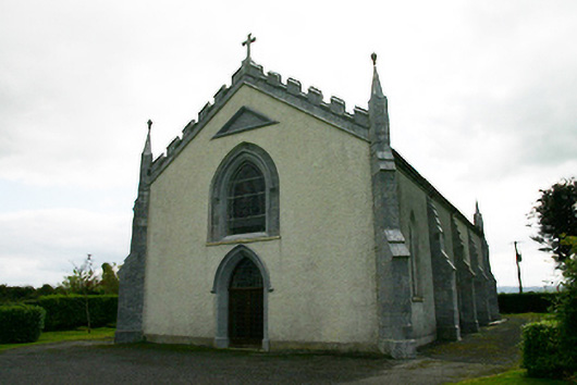 Catholic Church of the Holy Familychurch/chapel · 1703 yd
 Church (in ruins)Church · 1706 yd
 CastleCastle, tower house · 1.6 mi
 Blake's IslandIslet · 3.2 mi
 Ash IslandIslet · 3.5 mi
 Long PointHeadland · 4.3 mi
 Moyard WoodWood · 4.7 mi
 Turoe StoneHeritage attraction · 5.6 mi
 Kilcornan ForestWood · 8.3 mi