What is recorded here
In pastureland within the W sector of a graveyard (GA104-266001-). The W gable (H 4.7m) and the W end of the S side-wall (H 1.5m) are the best preserved sections of this medieval church (15.4m E-W; 5m N-S; wall T 1m), otherwise only the grassed-over remains of the other walls (H 0.8m) indicate its outline. The gable wall, which is regularly coursed, is original to the height of an offset (H 2.25m; Wth 0.45m) that is visible on its internal face. Above this it has been rebuilt and some dressed stone is visible in its make-up. A corbel centrally placed in this wall suggests the former presence of a loft at this end of the church and this is further suggested by the top of an ogee-headed window on the ground outside the SW corner. No architectural features survive but a possible lintel stone from over the doorway has been incorporated into the graveyard wall. A font and the capstone of possible double font are visible in the interior, which is also occupied by a number of modern graves.
Compiled by: Olive Alcock
Date of upload: 2 April 2020
The monument record does not grant public access. Check the route and ask the landowner before entering private land.
- What survives
- Recorded monument
Places near here
 IndicatedEnclosure, large enclosure · 1009 yd
 CaveMan-made underground passage · 1135 yd
 Cloghastookeen Castle (in ruins)Castle, unclassified · 1.3 mi
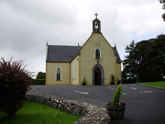 Saint Killian's Catholic Churchchurch/chapel · 1.4 mi
 CarnanthomasCastle, unclassified · 1.4 mi
 Ballymanagh Ho.House, 18th/19th century · 1.4 mi
 Blake's IslandIslet · 4.0 mi
 Moyard WoodWood · 4.0 mi
 Ash IslandIslet · 4.4 mi
 Long PointHeadland · 5.1 mi
 Turoe StoneHeritage attraction · 5.8 mi
 Kilcornan ForestWood · 7.5 mi