
What is recorded here
From the National Monuments Service (Archaeological Survey of Ireland) record CO084-078001
Places near here
Photo credits
- Maker not stated on source page, www.alamy.com
- Jonathan Thacker, Geograph · Creative Commons Attribution-ShareAlike 2.0
- Maker not stated on source page, en.wikipedia.org
- National Inventory of Architectural Heritage
- Maker not stated on source page, uk.pinterest.com
- Mike Searle, Geograph · CC BY-SA 2.0
- Frabjousone, Wikimedia Commons · CC BY-SA 4.0
- Mike Minihan / The Echo, www.echolive.ie
- Larry Cummins / EchoLive, www.echolive.ie
 Ogham Stone (Site of)Ogham stone · 1369 yd
Explorer Tom Ogham Stone in Garranes has been hiding its scandalous secret since the Bronze Age. It used to be in a ringfort, now…
 St Martin's Church of Ireland ChurchChurch/chapel · 1476 yd
Explorer Tom St Martin's Church is having a serious staring contest with the big tree next to it, and honestly, neither of them is…
 Church in Garranes (kinalmeaky By.)Church · 1478 yd
Explorer Tom Church in Garranes was built in 1797 and reopened in 1862 after repairs, so it’s had a bit of a rough go. The tower has…
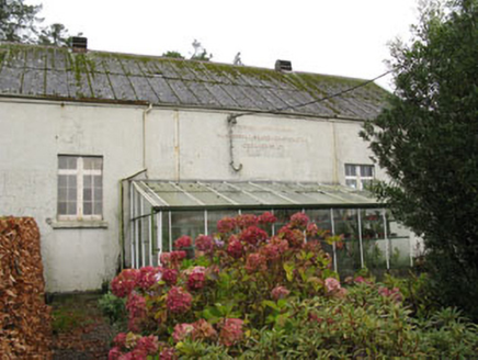 Templemartin CreameryCreamery · 1749 yd
Explorer Tom Templemartin Creamery in Garranes is a 1928 corrugated-iron beast that used to be the village's social hub, now just an…
 Fairy fort / earthen ringfort in Castlenalact (kinalmeaky By., Templemartin Par.)Fairy fort / earthen ringfort · 1.2 mi
Explorer Tom Fairy fort / earthen ringfort in Castlenalact is gone, but its spirit of complaining to the council lives on forever.…
 Garranes HouseCountry house · 1.2 mi
Explorer Tom Garranes House in Garranes is a country house on the Buildings at Risk Register, so it’s basically fancy and falling…
 Scartnamuck HouseHouse · 1.3 mi
Explorer Tom Scartnamuck House has a doorcase so fancy it probably needs a doorman to stop people staring. Bring your own sense of…
 Mount Pleasant SchoolSchool · 1.7 mi
Explorer Tom Mount Pleasant School in Curravordy would win the county fair for best looking structure, hands down. It’s got those…
 Michael Collins MemorialMemorial · 3.1 mi
Explorer Tom Michael Collins Memorial in County Cork is definitely the shortcut that is actually a dead end. It looks official but…
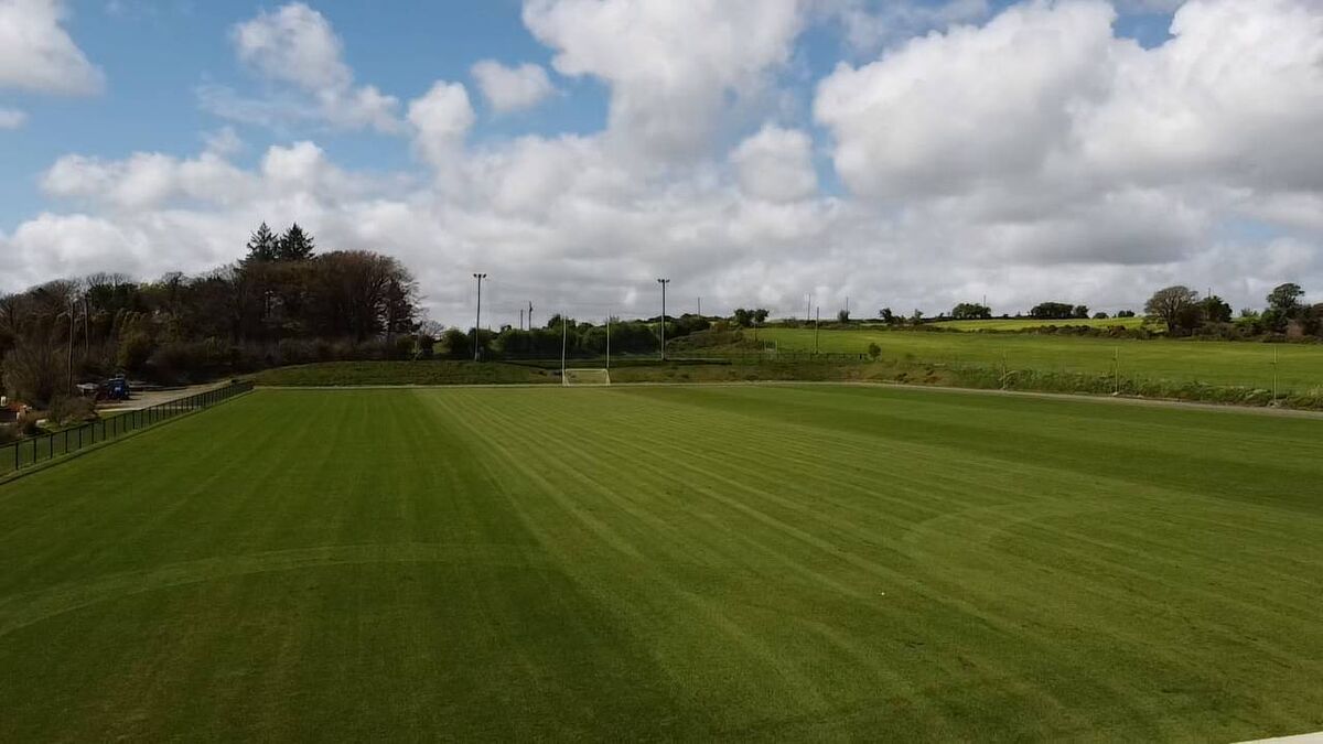 Newcestown GAA pitchGAA ground · 4.2 mi
 Kilmurry GAA pitchGAA ground · 4.2 mi
 Mapped cemeteryCemetery · 5.6 mi
Explorer Tom Mapped cemetery in County Cork refuses to fall down because it has a stubborn streak for days and believes it looks…
More archaeology and monuments in County Cork · All of County Cork

What do you know about this place?Tap to add a comment or ask a question