
What is recorded here
In partially reclaimed grassland. Cropmark of circular-shaped area (approx. diam. 20m) defined by a ditch visible on Digital Globe aerial imagery taken 2011-13.
Compiled by: Caimin O’Brien
Date of upload: 23 November 2020
The monument record does not grant public access. Check the route and ask the landowner before entering private land.
- What survives
- Recorded monument
Places near here
 (Site of) Rossard ChurchChurch · 1102 yd
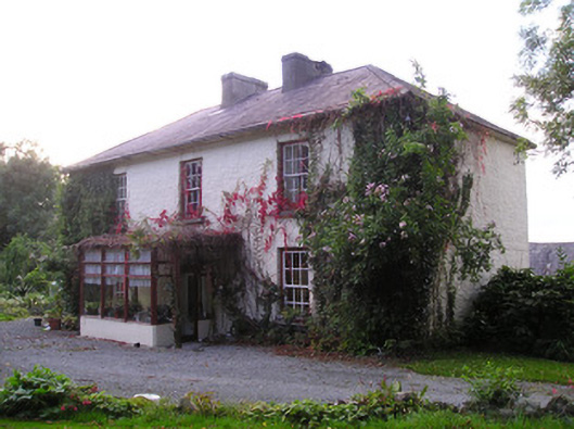 Mortlestown Househouse · 1702 yd
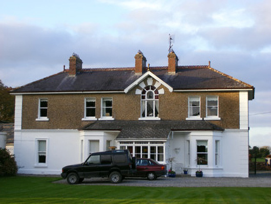 Sycamore Lodgehouse · 1.0 mi
 Raheen, hachuredFairy fort / earthen ringfort · 1.2 mi
 Ballyhoura tourist informationVisitor information · 2.2 mi
 St Bridget's WellSpring · 2.3 mi
 Treada Na Ríogh (The Moat), hachuredCastle, motte · 2.3 mi
 Castle PhilipMountain / peak · 2.9 mi
 Gooseberry HillMountain / peak · 3.0 mi
 Site of Millmount Castle, Castle FieldCastle, unclassified · 3.1 mi
 Palatine's RockNamed rock · 3.3 mi
 Ballyhoura WayWalking route · 3.6 mi
Other information
Photo: Credit not shown in the picture search · Rights wording not checked; contact us if this picture should be removed