What is recorded here
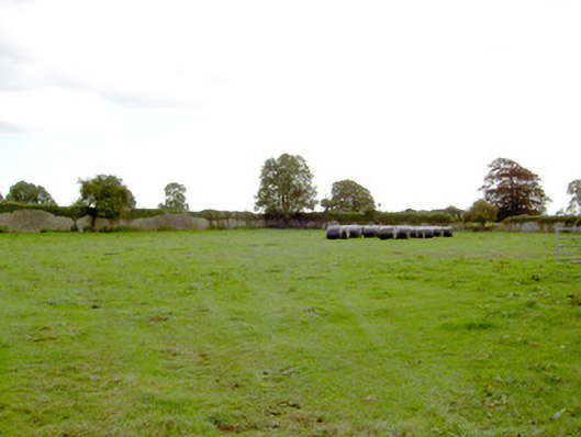
On a gentle E-facing slope in pasture. Depicted as an irregularly shaped field on the 1837 ed. of the 6-inch map. A raised subrectangular area (c. 52m NNW-SSE; c. 30m ENE-WSW) enclosed by a low bank of earth and stone (Wth 2.3m; H 0.2-0.4m). The outer face of the bank has been modified and incorporated into field boundaries, those along the SE and SW sides have been removed in recent years. There is no trace of a fosse. A report in 1976 (SMR file) recorded that the original entrance was at SE. Immediately inside the bank at SSW is a waterlogged area (Wth c. 4m). A short distance to the N of the centre is a slightly raised subtriangular area (dims. 8m N-S; 6m E-W; H 0.1-0.15m).
Compiled by: Patrick F. O'Donovan
Date of upload: 20 February 2012
This remains an important historical record, but the official description says the monument is no longer visible or has been destroyed. The monument record does not grant public access. Check the route and ask the landowner before entering private land.
- What survives
- No visible remains or recorded as destroyed
Places near here
 IndicatedFairy fort / earthen ringfort · 724 yd
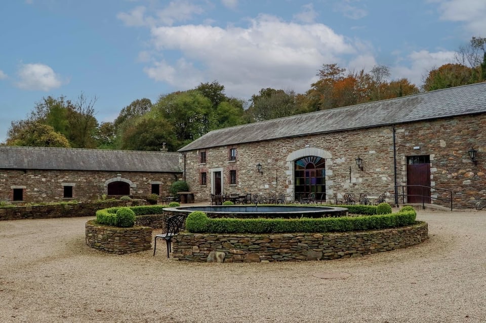
 Park Placewalled garden · 760 yd
 Church (in Ruins)Church · 1167 yd
 Mornin Castle (in Ruins)Castle, tower house · 1225 yd
 DoonphilipCastle, motte · 1461 yd
 Enclosure in BallybegEnclosure · 1.1 mi
 National Famine WayWalking route · 2.9 mi
 Newcastle WoodsForest · 3.6 mi
 Goldsmith Birthplace, PallasVisitor information · 3.7 mi
 Target WoodWood · 3.9 mi
 Craft WorkshopHeritage attraction · 4.4 mi
 Guest ServicesVisitor information · 4.4 mi